Catalog Archive
Auction 160, Lot 253

"Sketch of Capt. Gunnison's Route to Sept. 20th 1853 Central Pacific R. Road Exploration", U.S. War Department
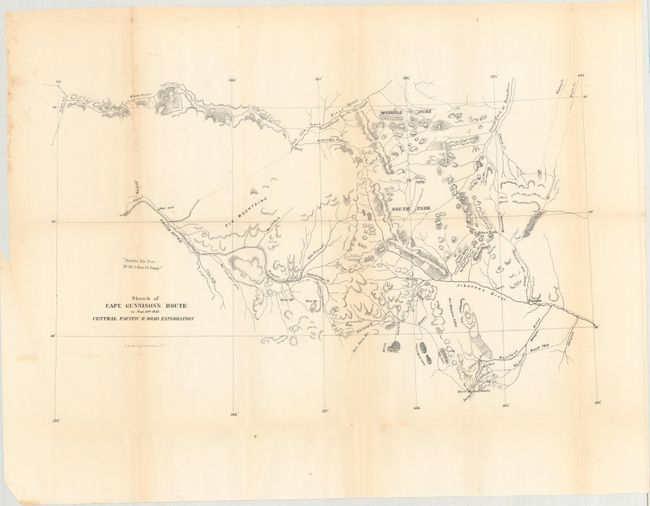
Subject: Colorado

Period: 1854 (circa)

Publication: Pacifc Railway Surveys

Color: Black & White

Size:
20.4 x 12.5 inches
51.8 x 31.8 cm
Download High Resolution Image
(or just click on image to launch the Zoom viewer)

Wheat mentions the map on page 202 under the much larger Gunnison & Beckwith map (TMW #842) that covers from St. Louis to San Francisco. On this earlier map the central region of Colorado is several times more detailed. The route follows the Arkansas River valley to includes today's La Vita Pass, Garland, Gunnison, and the vicinity of Grand Junction. The last camp is dated September 20th. Barely five weeks later Gunnison and Kern were killed near Siever Lake, Utah.

References:

Condition: B+

Issued folding with faint toning along some of the folds, a few spots of foxing, some extraneous creases, and small splits on some of the fold intersections.

Estimate: $275 - $350

Sold for: $200

Closed on 11/16/2016

Archived