Catalog Archive
Auction 160, Lot 224

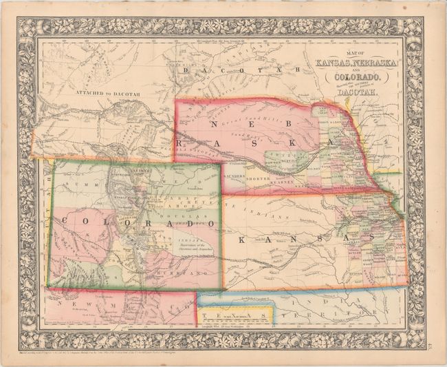
"Map of Kansas, Nebraska and Colorado. Showing Also the Southern Portion of Dacotah", Mitchell, Samuel Augustus
Subject: Central United States

Period: 1861 (dated)

Publication:

Color: Hand Color

Size:
14.1 x 11.6 inches
35.8 x 29.5 cm
Download High Resolution Image
(or just click on image to launch the Zoom viewer)

This map of the central Great Plains region depicts counties, cities, towns, transportation routes, Reservations, and topographical features. In Kansas, county development stops at Ft. Rliey, and in Nebraska the northern portion is unorganized and labelled "Great Sand Hills." In Colorado the Gold Region is noted adjacent to Denver City. This early edition has not yet labeled the newly formed Wyoming Territory, still referring to the area as "Attached to Dacotah."

References:

Condition: A

Original color with a few faint spots and binding holes in the top blank margin.

Estimate: $75 - $100

Sold for: $55

Closed on 11/16/2016

Archived