Subject: Atlases
Period: 1797 (published)
Publication:
Color: Hand Color
Size:
11.1 x 13.9 inches
28.2 x 35.3 cm
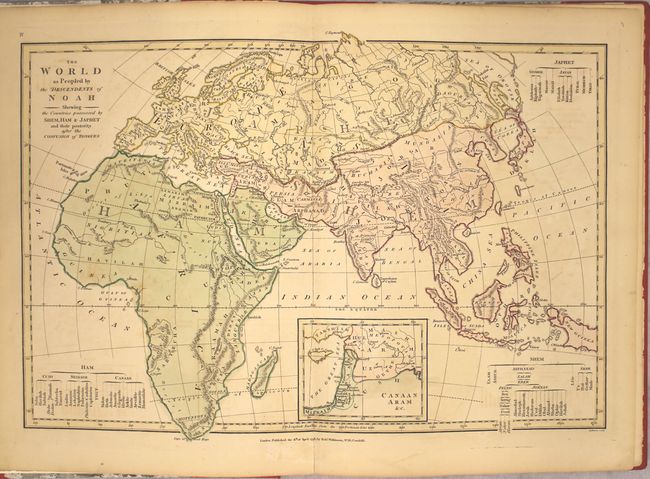
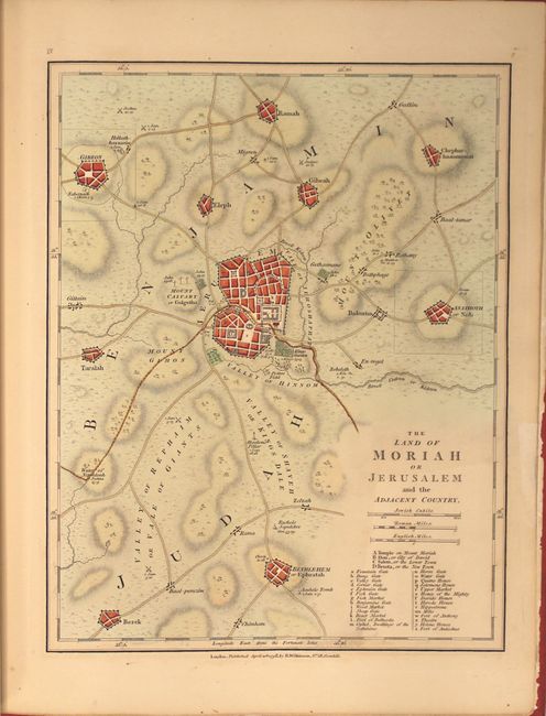
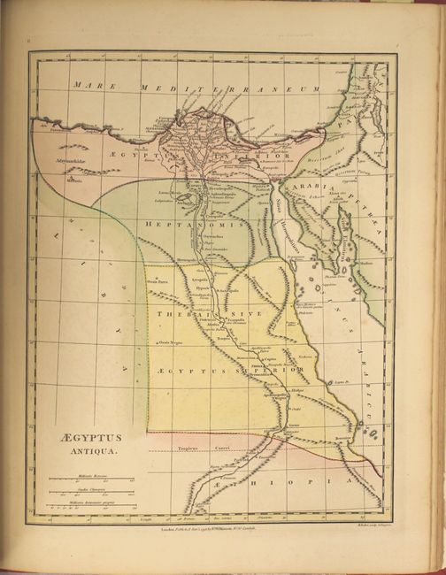
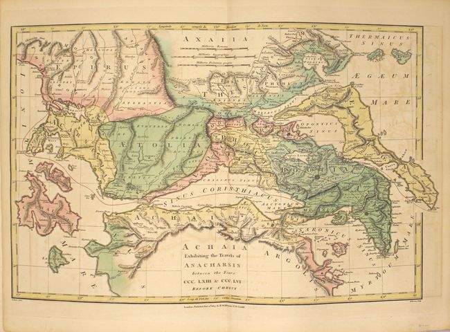
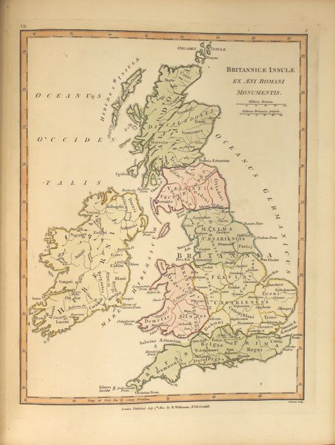
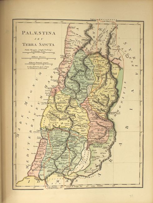
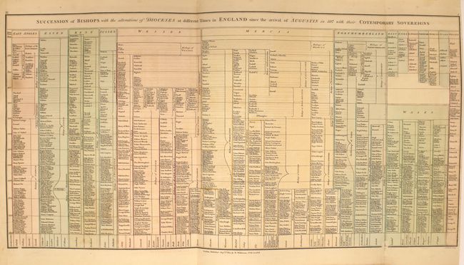
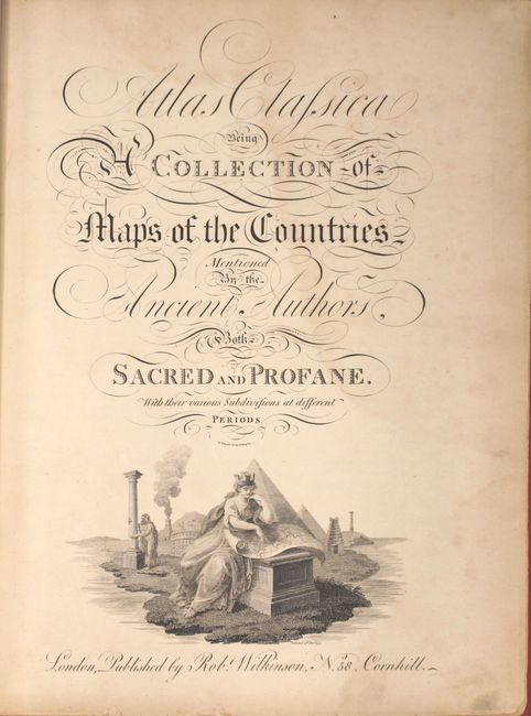
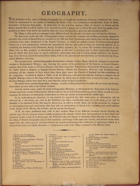
This atlas was designed to illustrate the world described in Greek and Latin classics and the Old Testament. It is divided into four parts: Geographica Sacra, Geographica Ecclesiastica, Geographica Antiqua, and Geographica Historica. It contains a total of 39 single-page and 7 double-page maps of Europe and parts of Asia and Africa (see images for list of maps). The atlas also includes seven highly detailed genealogical charts, including one folding. The preface explains the purpose of the atlas and notes that the author "flatters himself that it will be found to be executed in such a manner as to obtain the same flattering marks of approbation as those with which the modern Atlas has been honoured by a generous and indulgent public." Published at No. 58, Cornhill, London.
References:
Condition: B+
The maps are in original color and generally good to very good with light toning and light to moderate offsetting. The map "Africa Antiqua" has moderate foxing. Modern binding is very good with light shelf wear and soiling.