Subject: Atlases
Period: 1795 (circa)
Publication:
Color: Hand Color
Size:
5.6 x 8.6 inches
14.2 x 21.8 cm
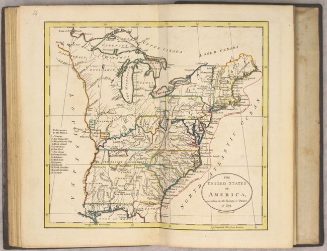
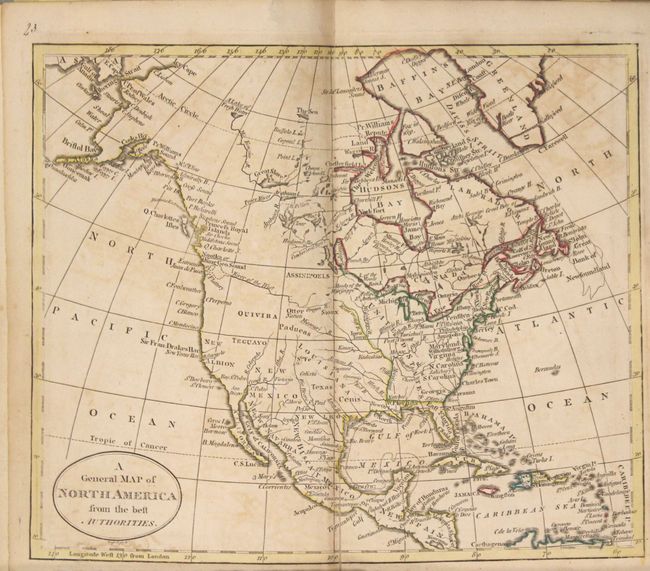
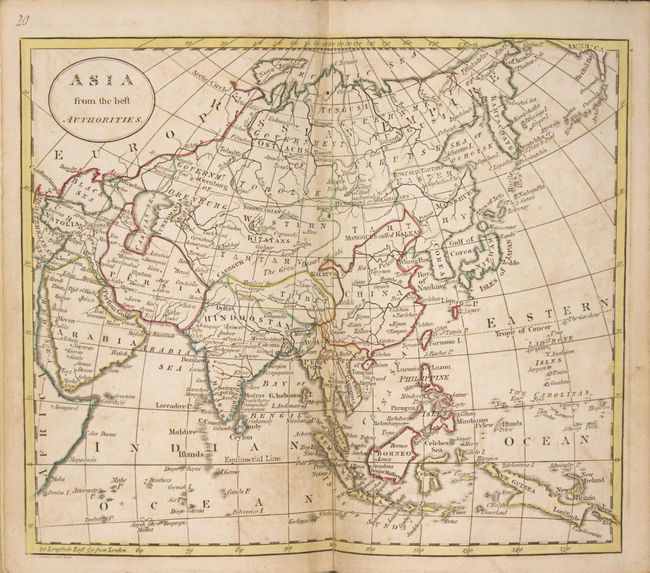
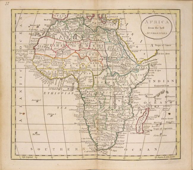
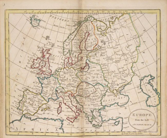
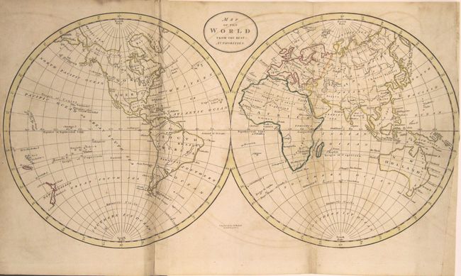
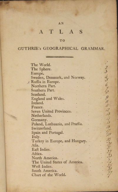
This handsome small atlas contains 25 double-page maps and a single page illustration of an armillary sphere. The atlas contain 2 world maps, 2 of Asia, 1 of Africa, 4 related to the Americas, and 16 of Europe. The two world maps and the map of the West Indies are folding. Of particular interest is the Russell map of the United States which was new in this edition and contains the mistaken title "Treaty of 1784." The map is noteworthy for the depiction of the Revolutionary War Bounty Land Grants. Ohio is a small area labeled Ohio Company and Donation Lands with no sign of the other bounty grants named on Russell's larger, derivative map. Other interesting designations west of Ohio bear the labels Illinois Company, Wabash Company, Army Lands, and New Jersey Company. Also of interest is the map of North America which shows a speculative River or the West, and the two world maps which show Van Diemen's Land still attached to mainland Australia and an incomplete coastline of New Guinea. Hardbound in full leather with gilt decorations on spine.
References: McCorkle (18th c. Geography Books) #173; McCorkle #795-11.
Condition: B+
The maps, in original outline color, are very good to near fine with light offsetting. Several of the maps have centerfold separations at bottom that have been mostly repaired on verso with old paper. The double-hemisphere map of the world has been trimmed at right and backed with old paper. The hinges are starting, edges are bumped, with typical wear to covers.