Catalog Archive
Auction 159, Lot 700

"Carte Generale de la Coste de Guinee Depuis la Riviere de Sierra Leona Jusqu'au Cap de Lopes Gonsalvo...", Bellin, Jacques Nicolas

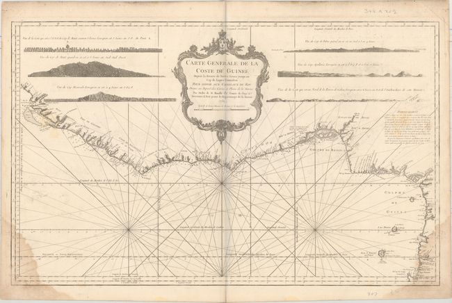
Subject: Western Africa

Period: 1750 (dated)

Publication: Hydrographique Francais

Color: Black & White

Size:
34.9 x 21.6 inches
88.6 x 54.9 cm
Download High Resolution Image
(or just click on image to launch the Zoom viewer)

This striking sea chart covers the western coast of Africa from Sierra Leone to Cape Lopez. Six coastal views and a huge decorative title cartouche fill the interior. The chart is engraved with minute detail including anchorages, navigational hazards, soundings, forts, settlements, and watering places. Bellin, attached to the Depot de la Marine, became hydrographer to the King and a member of the Royal Society of London. He was commissioned to map all the known coasts of the world, resulting in the maps of this superb atlas.

References: Phillips (Atlases) #587- v. 2, 5.

Condition: B

On a watermarked sheet with some damp stains in bottom corners, light offsetting and soiling, and some manuscript notations in pencil at left.

Estimate: $140 - $170

Sold for: $70

Closed on 9/14/2016

Archived