Catalog Archive
Auction 159, Lot 612

NO RESERVE

"[On 2 Sheets] Karte von Kaukasus nach der Russischen General-Stabs-Karte in 4 Bl. und Andern Guten Materialien...", Handtke, Friedrich H.
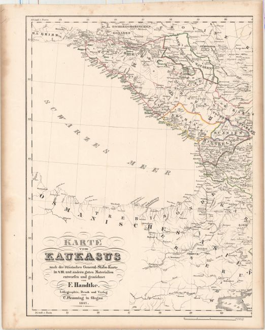
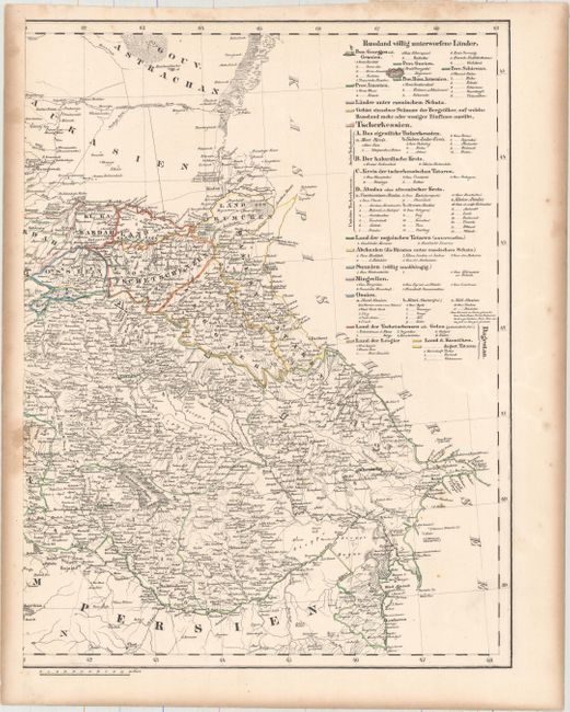
Subject: Caucasus

Period: 1847 (dated)

Publication:

Color: Hand Color

Size:
12.4 x 16.3 inches
31.5 x 41.4 cm
Download High Resolution Image
(or just click on image to launch the Zoom viewer)

Published by Carl Flemming on two sheets, this map covers the Balkans region from the Black Sea to the Caspian Sea. It is color-coded to show Russian possessions, possessions of the Ottoman Empire, and those regions that were under Russian influence. A key at right explains the color coding. Issued only six years before the onset of the Crimean War.

References:

Condition: B+

Original outline color with toning along sheet edges and a few spots of foxing mostly in the blank margins.

Estimate: $70 - $90

Sold for: $31

Closed on 9/14/2016

Archived