Subject: Continents
Period: 1646 (circa)
Publication: Atlas Novus
Color: Hand Color
Size:
19.6 x 14.8 inches
49.8 x 37.6 cm
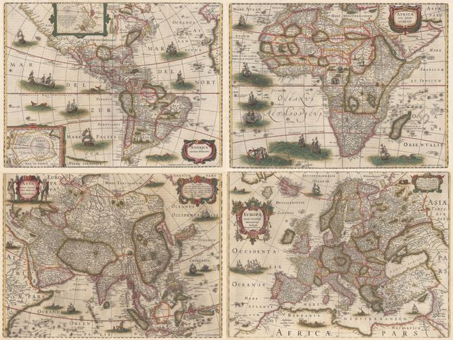
In 1630 Henricus Hondius and Jan Jansson undertook a major revision of the Mercator Atlas in response to fierce competition with the Blaeu family. This is a matching set of the four continent maps that appeared in the Atlas Novus. Latin text on verso, published between 1646-57. Size varies slightly.
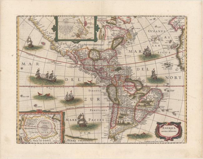
A. America Noviter Delineata. This beautiful and popular map of the Americas was emulated by numerous cartographers and went through various editions. Originally issued by Jodocus Hondius II in 1618 with carte-a-figures borders, it was derived from two earlier maps by Blaeu. North America retains the peninsular California and the East Coast is beginning to take shape, although it still lacks detail in the mid-Atlantic region. In the Southwest, the famous seven cities of Cibola appear on the banks of a large lake. In South America, there is a large inland sea on the equator and two engraved scenes - one detailing a cannibalistic feast. Two stylized insets of the polar regions are enclosed in strapwork cartouches; the North Pole depicts Frobisher's theory of the Northwest Passage and the South Pole shows the long-held notion of the mythical southern continent. The map is richly ornamented with a strapwork title cartouche, fleets of ships and sea monsters. Shortly after Jodocus Hondius' death in 1629 the plate passed into the hands of his brother, Henricus. The borders were removed to facilitate the smaller atlas. This is the fifth state with the imprint of Ioannes Ianssonius below the cartouche. References: Burden #192; Goss #27; Tooley (America), plt. 172; Van der Krogt (Vol. I) #9000:1D.4. Condition: A clean, sturdy sheet with a professionally repaired centerfold separation that enters less than 1" into map at bottom. (A)
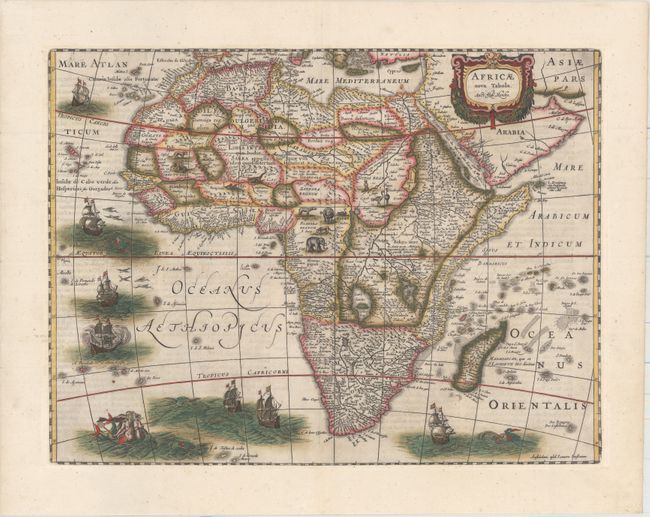
B. Africae Nova Tabula. This richly ornamented map of the continent is Henricus Hondius' issue of Jodocus Hondius' map, but without the decorative borders that were masked in order to fit the map into an atlas format. The geography is largely speculative and follows Blaeu's map of 1617 with the Cuama River originating in the mountains rather than in the Sachaf Lake below the Mountains of the Moon (Lunae Montes). The origin of the Nile conforms to the Ptolemaic tradition of the two twin lakes south of the equator. The Kingdom of Monomotapa occupies a large area of southern Africa. Ornamentation includes a wreath-style title cartouche, sailing ships, flying fish, various sea monsters, and Neptune consorting with a comely mermaid. Elephants, lions, zebras, ostriches, and even a dragon occupy the interior. This is the fifth state, with Jansson's imprint at bottom right and the date removed from the title cartouche. References: Betz #58.5; cf. Norwich #34; Van der Krogt #8600:1D.4. Condition: A crisp impression with a professionally repaired centerfold separation that enters 1" into image at bottom. (A)
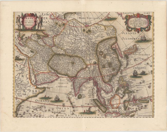
C. Asia Recens Summa Cura Delineata. This map is based on the 1623 map of Asia by Henricus' brother (Jodocus), but without the decorative panels. The map extends from the Arabian Peninsula through the East Indies. There is a wide expanse of ocean between the east coast of Asia and America, which is conveniently hidden by a dedication cartouche. Korea is shown as a long peninsula and Japan is based on the Ortelius/Teixeira model. This beautiful map became the standard map of Asia throughout the 17th century. Two hunters flank the title cartouche and the map is embellished with a pair of lions, an elephant, European ships, a Chinese sampan and a sea monster. References: Yeo #33; Van der Krogt (Vol. I) #8000:1D.4. Condition: Light soiling and a professionally repaired centerfold separation that enters 1.5" into image at bottom. (B+)
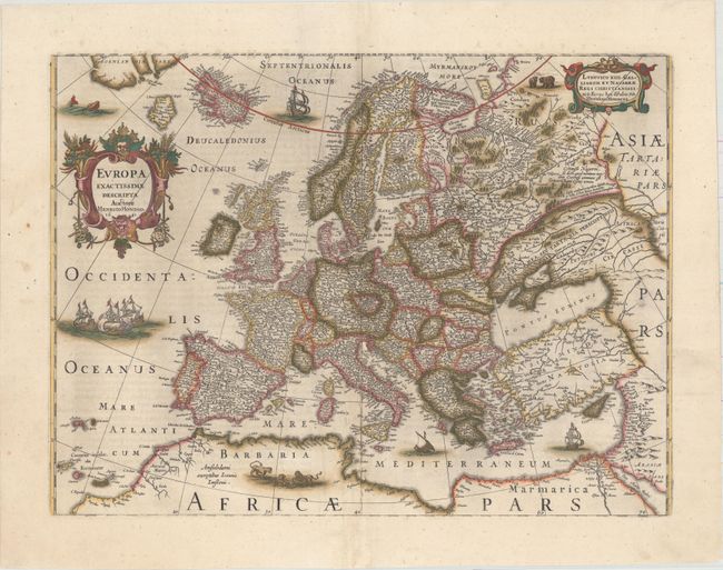
D. Europa Exactissime Descripta. A very decorative map of Europe with minutely engraved detail throughout, showing the mythical island of Frisland near Iceland. While revising the Mercator Atlas in 1630, the map of Europe was completely redrawn and updated, particularly in the northern regions. It is decorated with lovely title cartouche, ships, a sea monster and lions. References: Van der Krogt (Vol. I) #1000:1D.3. Condition: Professional repairs to several short separations along the centerfold. There is a small abrasion in the Gulf of Venice and two short cracks along the western borders of Norway and Germany that have been archivally repaired. (B+)
References:
Condition:
Full original color. See description for additional details.


