Catalog Archive
Auction 159, Lot 498

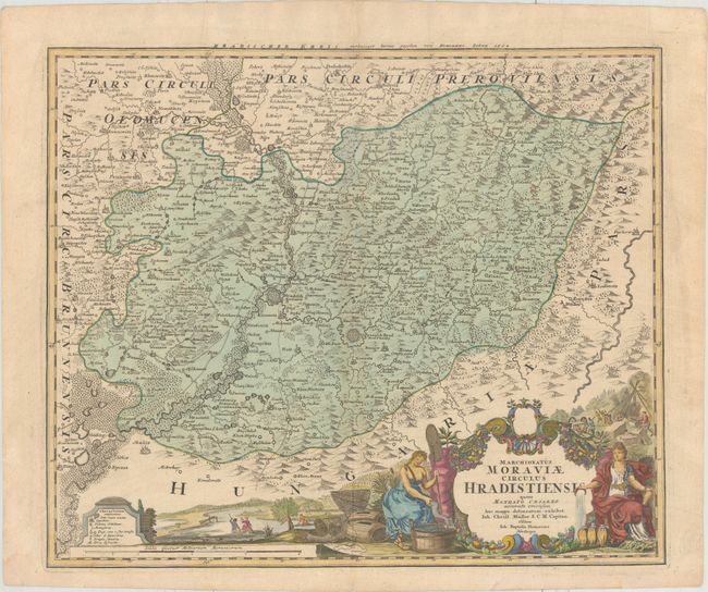
"Marchionatus Moraviae Circulus Hradistiensis quem Mandato Caesareo...", Homann, Johann Baptist
Subject: Czech Republic

Period: 1740 (dated)

Publication:

Color: Hand Color

Size:
23 x 19.3 inches
58.4 x 49 cm
Download High Resolution Image
(or just click on image to launch the Zoom viewer)

Detailed map of the region of Ungarisch-Hradisch in Moravia, now in the southeastern part of the Czech Republic. The map is graphically engraved to illustrate the topography, forests and marshes and the fortified cities and villages, including Kromeriz, Uherske Hradiste and Uhersky Brod. At bottom is a superb pictorial cartouche featuring the major industries of the region: mining, viticulture and fishing. The map is based on the work of Johann Christoph Muller.

References:

Condition: A

Watermarked paper with one small, professionally repaired hole along the centerfold and marginal soiling.

Estimate: $220 - $250

Unsold

Closed on 9/14/2016

Archived