Catalog Archive
Auction 159, Lot 433

"Prussiae Regionis Sarmatiae Europeae Nobiliss. Vera et Nova Descriptio...", Ortelius, Abraham
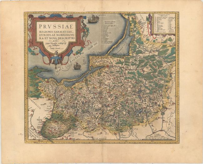
Subject: Baltic

Period: 1584 (dated)

Publication: Theatrum Orbis Terrarum

Color: Hand Color

Size:
16.9 x 14.3 inches
42.9 x 36.3 cm
Download High Resolution Image
(or just click on image to launch the Zoom viewer)

Superb map of the Prussian Empire, which includes present-day Poland, Lithuania and the Russian enclave of Kaliningrad (here Konigsperg). Ortelius based the map on the work of Caspar Henneberger (1576). This is the less common first plate with only one ship sailing in the stipple-engraved sea, which appeared in editions from 1584-92. Latin text on verso, published in 1592.

References: Van den Broecke #156.

Condition: A

Full original color on watermarked paper with minor toning along the centerfold and marginal soiling.

Estimate: $450 - $550

Sold for: $325

Closed on 9/14/2016

Archived