Catalog Archive
Auction 158, Lot 436

"Cimbebas et Caffariae Littora a Catenbela ad Promontorium Bonae Spei / Pascaerte van Cimbebas en Caffares Streckende van Catembela tot Cabo de Bona Esperanca", Renard/De Wit

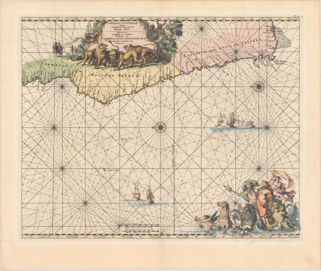
Subject: Southwestern Africa

Period: 1715 (circa)

Publication: Atlas de la Navigation et du Commerce

Color: Hand Color

Size:
20.9 x 16.8 inches
53.1 x 42.7 cm
Download High Resolution Image
(or just click on image to launch the Zoom viewer)

A superb sea chart with the African coastline drawn at the top of the chart with north oriented to the left. The southwestern coastline is covered including the Cape of Good Hope. The large title cartouche is a great compendium of Africa featuring exotic wildlife, European traders, and natives. At the bottom right a large vignette shows Neptune and his consort in a chariot drawn by three hippocamps. The chart is further embellished with two sea battles, two compass roses, and rhumb lines. This is the Renard edition of the map that was first published by Frederick de Wit, circa 1675.

References: Norwich #254; Shirley (BL Atlases) M.REN-1a.

Condition: A

A nice impression with a few faint spots and light toning along sheet edges.

Estimate: $800 - $950

Unsold

Closed on 6/22/2016

Archived