"Il Regno di Portogallo Descritto...", Cantelli da Vignola/de Rossi
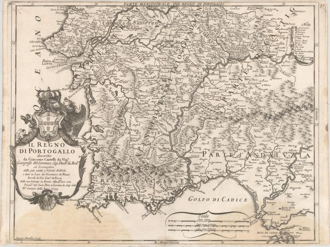
Subject: Southern Portugal
Period: 1692 (dated)
Publication: Mercurio Geografico
Color: Black & White
Size:
21.4 x 16.8 inches
54.4 x 42.7 cm
This is the southern map of a rare two-sheet map of Portugal, with each map made to stand on its own with full borders, a rococo cartouche, and a scale of miles. This sheet extends from Peniche in the north to Cadiz in the east, and is fully engraved to show towns, rivers, mountains, and political boundaries. Created by Giacomo Cantelli da Vignola and Giacomo Giovanni Rossi and engraved by Antonio Barbey.
References: Shirley (BL Atlases) T.ROSS-1d #76.
Condition: B
A nice impression on watermarked paper with large damp stains at bottom. Narrow top and bottom margins, as issued.