Catalog Archive
Auction 158, Lot 250

"Regni Angliae Nova Tabula, Exhibens Principatum Walliae &, Aliarum Provinciarum, Civitatum, Oppidorum, una cum Itineribus ab uno in Aliam Civitatem", Ottens, Reiner and Joshua

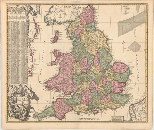
Subject: England & Wales

Period: 1730 (circa)

Publication:

Color: Hand Color

Size:
23 x 19.5 inches
58.4 x 49.5 cm
Download High Resolution Image
(or just click on image to launch the Zoom viewer)

This handsome map of England and Wales was originally created by Jan de Ram and published circa 1689. It provides excellent detail of the counties, roads, cities, towns, churches and universities. An extensive table at left lists the key cities on the map and identifies their longitude and latitude and distance from London. The dramatic title cartouche celebrates the Glorious Revolution of 1688-89. An imposing military figure representing King William III stands over a prone leonine figure representing England, and offers his hand to Queen Mary on the right. Above them putti flank the Stuart-Orange coat of arms.

References: Shirley (BI to 1750) De Ram 1 #3.

Condition: A

Superb, full original color with short centerfold separations at top and bottom that have been archivally repaired and a tiny hole along the coast of Ireland.

Estimate: $900 - $1,100

Sold for: $550

Closed on 6/22/2016

Archived