Catalog Archive
Auction 158, Lot 192

"Brazil", Arrowsmith, John
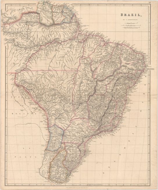
Subject: Brazil

Period: 1832 (dated)

Publication: The London Atlas of Universal Geography...

Color: Hand Color

Size:
20 x 23.8 inches
50.8 x 60.5 cm
Download High Resolution Image
(or just click on image to launch the Zoom viewer)

This map of Brazil is dense with detail. It divides the country into provinces and names towns and cities, rivers, natives, and more. Portuguese, English, Dutch, and French Guyana appear north of Brazil. Portions of Colombia, Bolivia, and Argentina are depicted in less detail, and Paraguay and Uruguay are shown as part of Brazil.

References:

Condition: B+

Original outline color with light soiling and minor offsetting.

Estimate: $190 - $220

Sold for: $140

Closed on 6/22/2016

Archived