Subject: References
Period: 1976-93 (published)
Publication:
Color: Printed Color
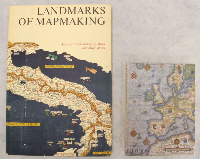
A. Landmarks of Mapmaking - An Illustrated Survey of Maps and Mapmakers, by R.V. Tooley and Charles Bricker, published 1976 (11.2 x 16.1"). Charles Bicker wrote this beautifully produced and well-illustrated cartographic reference. It covers the exploration and mapping of Europe, Asia, Africa, the Americas, and Australia. The preface is by Gerald Roe Crone, and the maps were chosen by R. V. Tooley. Comprised of 276 pp., over 350 illustrations, including maps, portraits, title pages, and reproductions from early sources, 14 color folding maps, other color illustrations, bibliography, and index. Published by Wordsworth Editions Ltd. Folio, hardbound in linen cloth, gilt title on the spine, and dust jacket. Condition: Minor wear to dust jacket.
B. Antique Maps, by Carl Moreland and David Bannister, published 1993 (7.5 x 9.8"). This is the first paperback edition of this invaluable reference that covers map-making, cartographers, and collecting. The books lays out the history of map-making methods from the late 15th century onwards. Brief biographies of the major map-makers are included. It also provides advice for the collector on the practical aspects of collecting and care. Illustrations in B&W (168) and color (8) in 326 pages, including bibliography and index. Illustrated paperback covers. Condition: The covers are lightly soiled with a few small abrasions.
References:
Condition: A
See description above.