Catalog Archive
Auction 157, Lot 608
"Byzondere Kaart van de Landen daar de Apostelen het Evangelium Gepredikt Hebben, van de Vermaardste Plaatsen, van Hunne Reyzen, en van den Weg van Paulus na Rome...", Covens & Mortier
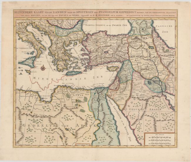
Subject: Eastern Mediterranean & Middle East
Period: 1725 (circa)
Publication: Hisoire du Vieux et du Nouveau Testament
Color: Hand Color
Size:
18.6 x 15.8 inches
47.2 x 40.1 cm
Download High Resolution Image
(or just click on image to launch the Zoom viewer)
(or just click on image to launch the Zoom viewer)