Catalog Archive
Auction 157, Lot 485

"Karte von Scotland Verfasst von Herrn J. Dorret…", Schraembl, Franz Anton
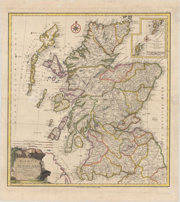
Subject: Scotland

Period: 1787 (dated)

Publication: Allgemeiner Grosser Atlas

Color: Hand Color

Size:
20.2 x 21.7 inches
51.3 x 55.1 cm
Download High Resolution Image
(or just click on image to launch the Zoom viewer)

This superb, large map of Scotland with inset of the Orkney and Shetland Islands features counties, roads, place names and Picts Wall (Hadrian's Wall), the historical border between Scotland and England. The title is displayed on a monument-style cartouche and a pair of compass roses orient the map. Engraved by Johann Stenger.

References:

Condition: B+

A crisp impression with very light soiling.

Estimate: $240 - $300

Sold for: $150

Closed on 5/4/2016

Archived