Catalog Archive
Auction 157, Lot 429
Superb Picture Frame Border
"H. Benzos Scheep-togt uit Italie over Spanje na de Westindize Eylanden, en Kusten van't Zuider America", Aa, Pieter van der
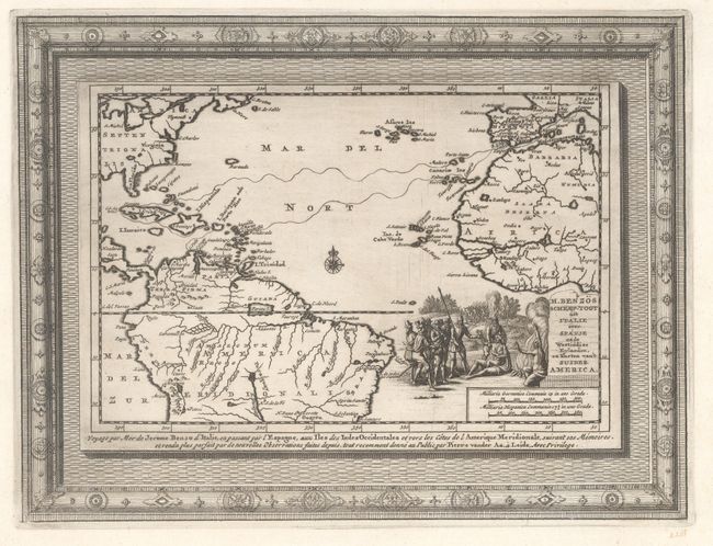
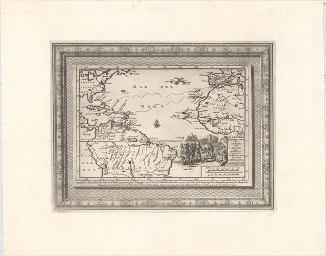
Subject: North Atlantic
Period: 1707 (circa)
Publication:
Color: Black & White
Size:
11.3 x 8.6 inches
28.7 x 21.8 cm
Download High Resolution Image
(or just click on image to launch the Zoom viewer)
(or just click on image to launch the Zoom viewer)