Catalog Archive
Auction 157, Lot 394

NO RESERVE

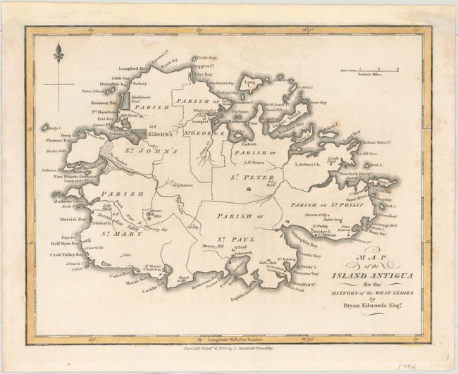
"Map of the Island Antigua for the History of the West Indies", Edwards, Bryan
Subject: Antigua

Period: 1794 (dated)

Publication: History, Civil and Commercial of the British Colonies in the West Indies

Color: Hand Color

Size:
9.1 x 7.2 inches
23.1 x 18.3 cm
Download High Resolution Image
(or just click on image to launch the Zoom viewer)

This little map of Antigua depicts parishes, forts, roads, churches, and harbors. St. John's in Loblollo Bay on the island's northwest coast is prominently shown with forts Hamilton and James guarding the bay. Bryan Edwards (1743-1800), was a prominent merchant who resided in Jamaica and traded in the West Indies for many years. Published by John Stockdale in London.

References: Tooley (MCC-55) #53.

Condition: B+

On a watermarked sheet with light scattered foxing. The sheet has been remargined at top.

Estimate: $140 - $170

Sold for: $28

Closed on 5/4/2016

Archived