Catalog Archive
Auction 157, Lot 274

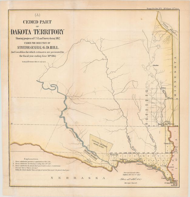
"Ceded Part of Dakota Territory Showing Progress of U.S. Land Survey During 1862...", U.S. State Surveys
Subject: Dakota Territory

Period: 1864 (dated)

Publication:

Color: Hand Color

Size:
13.6 x 14.1 inches
34.5 x 35.8 cm
Download High Resolution Image
(or just click on image to launch the Zoom viewer)

This early map of the eastern part of Dakota Territory shows a survey grid cluster in the southeastern corner of the region that had been ceded by the Sioux and Yankton Indian Tribes. Just west of the surveyed land there is a military reserve and two small Indian reservations. The balance of the chart is largely blank with only detail of the rivers and some topography and the locations of a few forts and Indian villages along the Missouri River. The surveys were completed under the direction of Surveyor General G.D. Hill.

References:

Condition: B+

Issued folding, now pressed, with light toning and soiling. Remargined at left with neatline replaced in facsimile.

Estimate: $120 - $150

Sold for: $60

Closed on 5/4/2016

Archived