Subject: Colonial New England & Mid-Atlantic
Period: 1772 (published)
Publication:
Color: Black & White
Size:
29.9 x 22 inches
75.9 x 55.9 cm
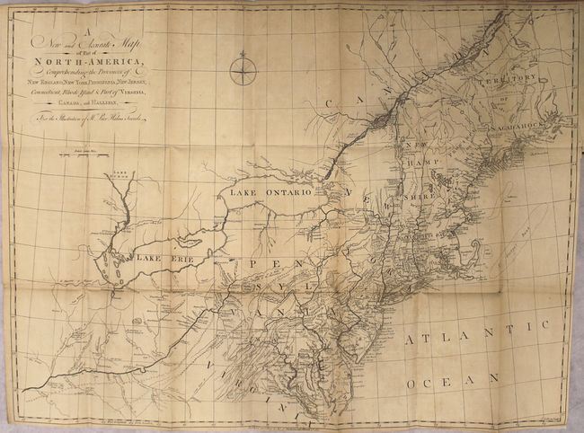
This scarce map covers Virginia through New England, the St. Lawrence River, Lake Ontario and Lake Erie and extends west to the confluence of the Ohio and Kentucky Rivers. The map is filled with detail of the colonies, as well as settlements, forts (including Fort Detroit), and Indian villages west of the Ohio River. There is great detail of the Swedish settlements, particularly along the Delaware River and in southern New Jersey. There are several interesting notations such as where to locate coal, salt and whetstones, and the place where elephant bones were found along the Ohio River. The map is among the earliest maps to identify Petroleum in western Pennsylvania, near present-day Titusville where the first oil well was drilled nearly a century later.
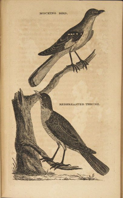
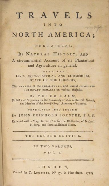
The map was removed from the volume, backed in linen, and reinserted onto new endpapers into volume one of Kalm's book of his travels and adventures in the region. Kalm’s work is one of the most important and reliable eighteenth-century accounts of American natural history, society, and politics. It also provides important accounts of the American Swedish settlements. Octavo, 414 pp. of text with 5 plates of bird engravings. Rebound in green cloth with gilt title on spine. AEG.
References: cf. McCorkle #770.1; cf. Seller & Van Ee #727; Howes #K5.
Condition: B+
The map is lightly toned with faint offsetting. Text and plates have scattered foxing and previous owner's bookplate is on the inside front cover. Extremities have light wear.