Subject: United States
Period: 1922 (published)
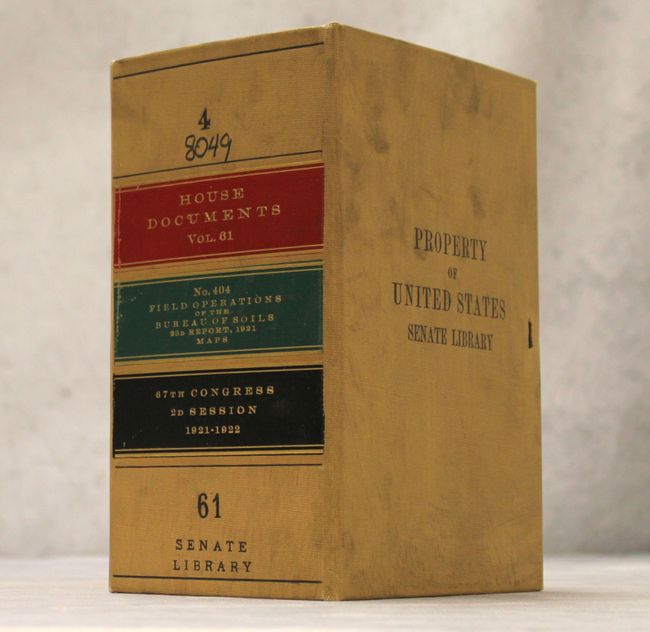
Publication: House Documents Vol .61 #404, 67th Congress, 2nd Session
Color: Printed Color
Size:
6.5 x 9.5 inches
16.5 x 24.1 cm
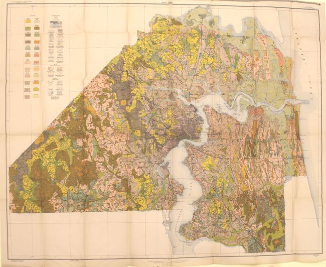
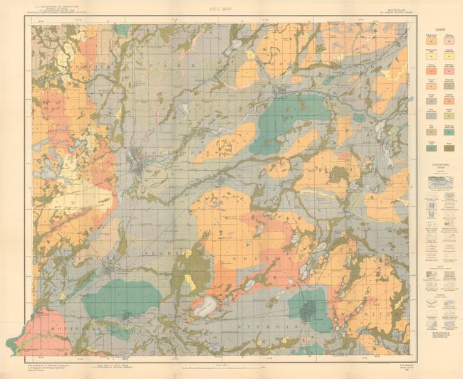
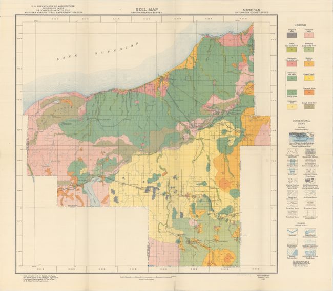
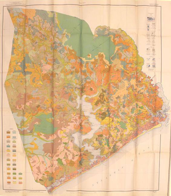
Housed in a tan congressional cloth case, this nearly complete and very colorful lot of 49 (of 50) soil maps comes from the 23rd Annual Report of the Field Operations of the Bureau of Soils, under the direction of Milton Whitney. Each of the maps has a legend identifying the various soil profiles which are overlaid on base maps provided by the Geological Survey. In addition to the soil types, the maps depict roads, railroads, cities and towns, county boundaries and topography via contour lines. The maps highlight the soil survey work being done across the entire country including:
Soil Map, Duval County sheet, Florida
Soil Map, St. Joseph County sheet, Michigan
Soil Map, Ontonagon County sheet, Michigan
Soil Map, Onslow County sheet, North Carolina
Soil Map, Carroll County sheet, Georgia
Soil Map, Winslow area sheet, Arizona
Soil Map, Greenville County sheet, South Carolina
Soil Map, O'Brien County sheet, Iowa
Soil Map, Benson area sheet, Arizona
Alkali, Benson area sheet, Arizona
Soil Map, Greene County sheet, Iowa
Soil Map, Cherokee County sheet, North Carolina
Soil Map, Caldwell County sheet, Missouri
Soil Map, Page County sheet, Iowa
Soil Map, Crenshaw County sheet, Alabama
Soil Map, Spartanburg County sheet, South Carolina
Soil Map, McCook County sheet, South Dakota
Soil Map, Union County sheet, South Dakota
Soil Map, Garrard County sheet, Kentucky
Soil Map, Mississippi County sheet, Missouri
Soil Map, San Simon area sheet, Arizona
Soil Map, Victorville area sheet, California
Soil Map, Alcorn County sheet, Mississippi
Soil Map, Deuel County sheet, Nebraska
Soil Map, Antelope County sheet, Nebraska
Soil Map, Andrew County sheet, Missouri
Soil Map, Eureka area sheet, California
Soil Map, Perkins County sheet, Nebraska
Soil Map, McHenry County, North Dakota, northern sheet
Soil Map, McHenry County, North Dakota, southern sheet
Soil Map, Choctaw County sheet, Alabama
Soil Map, Wicomico County sheet, Maryland
Soil Map, Grundy County sheet, Iowa
Soil Map, Allegany County sheet, Maryland
Soil Map, Des Moines County sheet, Iowa
Soil Map, Jasper County sheet, Iowa
Soil Map, Boone County sheet, Nebraska
Soil Map, Benton County sheet, Iowa
Soil Map, Greene County sheet, Pennsylvania
Soil Map, Lonoke County sheet, Arkansas
Soil Map, Tucker County sheet, West Virginia
Soil Map, Twin Falls area sheet, Idaho
Soil Map, Natchitoches Parish, Louisiana, northern sheet
Soil Map, Natchitoches Parish, Louisiana, southern sheet
Soil Map, Jefferson County sheet, Nebraska
Soil Map, Uinta River Valley area sheet, Utah
Soil Map, Wasington and Ozaukee Counties sheet, Wisconsin
Soil Map, Trenton area sheet, New Jersey
Soil Map, Clackamas County sheet, Oregon
References:
Condition: A
The maps are in excellent condition with vivid color and a few tiny splits at fold intersections. Cloth case has minor surface soiling that does not impact maps and ribbon tie is missing.