Catalog Archive
Auction 157, Lot 143

"A New Improved Map of the Seat of War", Haines, D.

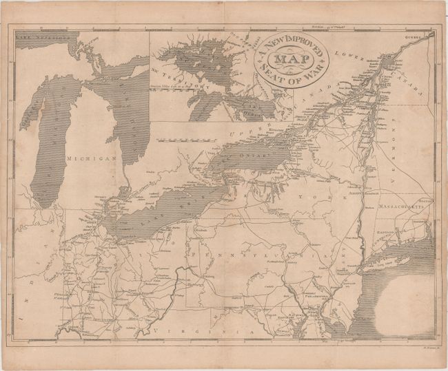
Subject: Northeastern United States & Canada

Period: 1817 (published)

Publication: History of the American War of 1812

Color: Black & White

Size:
17.9 x 13.4 inches
45.5 x 34 cm
Download High Resolution Image
(or just click on image to launch the Zoom viewer)

This map was issued in William McCarty's History of the American War of 1812 and covers the region from the Great Lakes east to Quebec and south to Washington DC. The emphasis of the map is on the network of wagon roads and waterways, and includes an inset of the Great Lakes centered on the strategic St. Mary's River which connects Lake Superior to Lake Huron. Decorated by a simple oval cartouche with fancy titling.

References: Phillips (Maps) p. 877; Howes #M38.

Condition: B+

Issued folding with light toning, minor soiling, some creasing at top, and several short fold separations closed on verso with archival tape.

Estimate: $200 - $250

Sold for: $275

Closed on 5/4/2016

Archived