Catalog Archive
Auction 156, Lot 679

"[Fusa, Japan]",

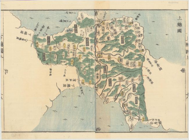
Subject: Fusa, Japan

Period: 1820 (circa)

Publication: Kokugun Zenzu

Color: Hand Color

Size:
12.6 x 8.6 inches
32 x 21.8 cm
Download High Resolution Image
(or just click on image to launch the Zoom viewer)

This woodblock map depicts the old Japanese province of Fusa, in the area of Ibaraki Prefecture. North is oriented to the left. Published in Kokugun Zenzu, an early Japanese Tadataka Atlas of the Tokugawa Era, compiled by Motonobu Aoo and Toshiro Eirakayu. A lovely example of traditional Japanese cartography.

References:

Condition: A

On two sheets, joined, with minor toning along the joint.

Estimate: $110 - $140

Sold for: $80

Closed on 2/17/2016

Archived