Subject: Eastern United States & Canada, Great Lakes
Period: 1799 (published)
Publication:
Color: Black & White
Size:
5.1 x 8.4 inches
13 x 21.3 cm
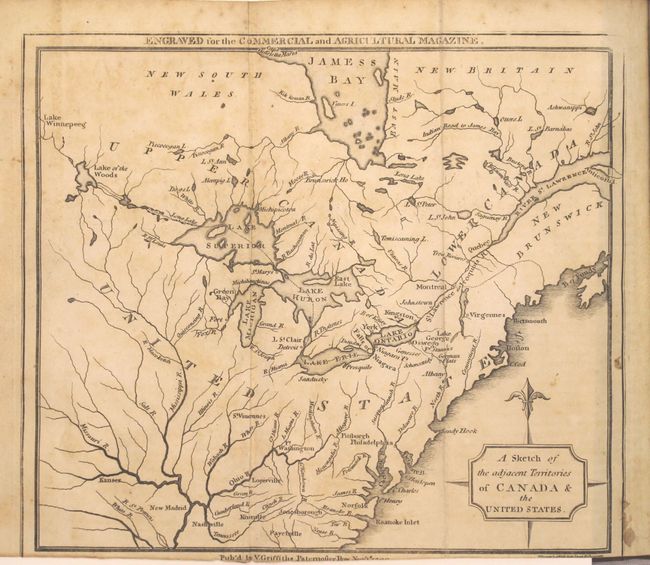
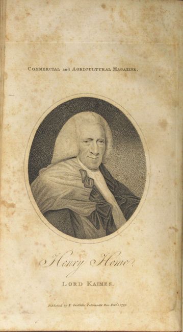
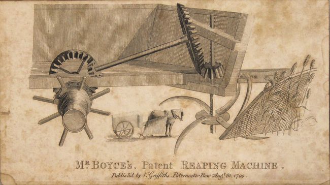
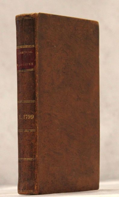
This lot consists of five issues (August-December) from the 1799 Commercial and Agricultural Magazine bound into one volume. Of particular interest in this volume is A Sketch of the Adjacent Territories of Canada & the United States (8.8 x 7.7"), which emphasizes watersheds. It covers the region from Lake of the Woods east to the St. Lawrence River and south to near New Madrid at the confluence of the Mississippi and Ohio rivers. Lake Superior still shows a few extra, spurious islands and only a few place names have been added to the map. An Indian Road to James Bay is noted near the top of the map. In addition to the map are portraits of Henry Home and John Wilkinson and plates featuring a reaping machine and water filter. Text covers a number of subjects from agriculture and manufacturing to poetry and commodity prices. This is an uncommon publication, not in Jolly. No dealer listings or auction results in the last 35 years. 8vo, full calf with red leather title label and gilt titling on spine.
References:
Condition: B
Map, plates and text have light toning and scattered foxing. Map is trimmed to just inside the neatline at bottom, as issued. Binding is very good with bumped edges and a few tiny cracks along the spine.