Subject: References
Period: 1971-94 (published)
Publication:
Color:
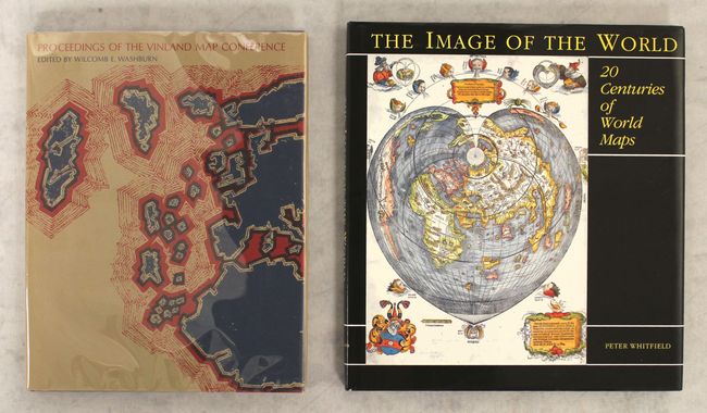
A. The Image of the World - 20 Centuries of World Maps, by Peter Whitfield, published 1994, printed color (10.7 x 11.6"). This is an overview of the history of world maps, with 50 illustrations of important maps, nearly all in color. There is a lengthy and informative essay centered on each illustrated map. Hardbound in black with title in gilt on spine, dust jacket, 144 pp.
B. Proceedings of the Vinland Map Conference, by Wilcomb E. Washburn, published 1971, black & white (8.9 x 11.3"). A comprehensive chronicle of the debate surrounding the then controversial Vinland Map. If genuine, the Vinland Map, believed to be printed mid-15th Century, is the only known pre-Columbian map showing the existence of North America. Includes a two-page plate of the Vinland Map and several black & white illustrations. Edited by Washburn and published for the Newberry Library by The University of Chicago Press. Maroon cloth and blue boards, with a dust jacket protected by a Mylar sleeve. 185pp.
References:
Condition: A
Near fine.