Subject: Exploration and Surveys, Americas
Period: 1766-69 (published)
Publication:
Color: Black & White
Size:
5.3 x 8.3 inches
13.5 x 21.1 cm
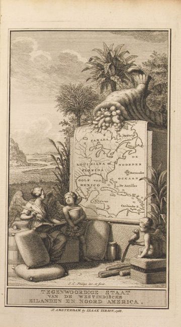
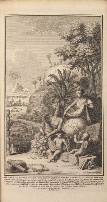
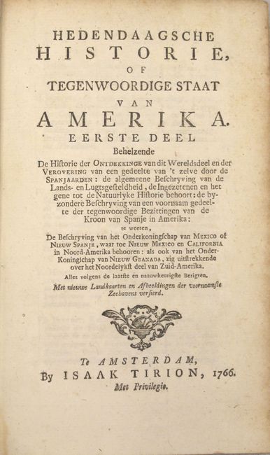
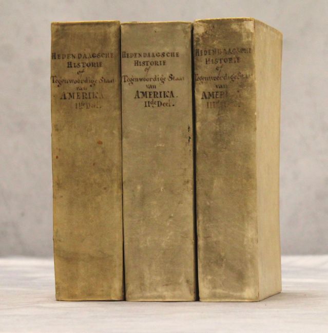
The Dutch Hedendaagsche Historie was originally based on Thomas Salmon's Modern History. The Dutch work was begun in 1729 and was not completed until 1803, comprising of 43 volumes. Tirion's 3-volume set on the Americas includes a substantial number of maps, all folding. Each volume features a unique title page representing the Americas. Although the 3-volume set should contain 25 maps, in this set all of the maps from volume 3 are missing (7 in total). The 18 maps that are included in volumes 1 & 2 are:
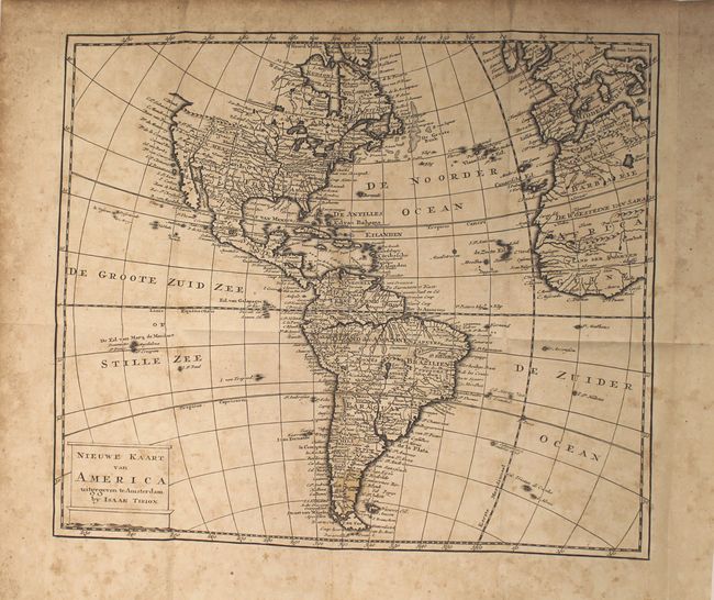
A. Nieuwe Kaart van America (12.5 x 10.8"). Condition: Light scattered foxing and a small stain in southern South America. (B)
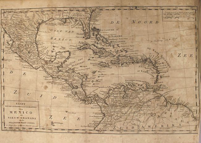
B. Kaart van de Onderkoningschappen van Mexico en Nieuw Granada (18.7 x 11.8"). Condition: Moderate foxing and toning. (B)
C. De Stad Vera Cruz in Nieuw Spanje (8.8 x 7.2"). Condition: One small spot of foxing. (A)
D. De Reede en Haven van Vera Cruz (10.2 x 6.8"). Condition: Minor toning with faint foxing. (B+)
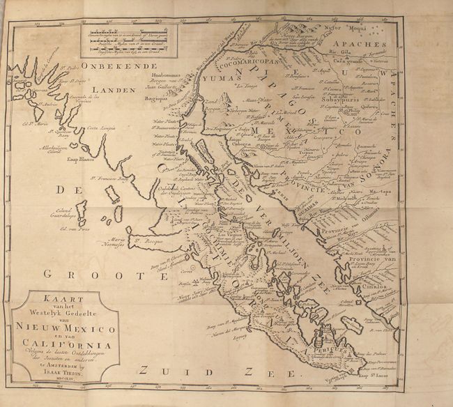
E. Kaart van het Westelyk Gedeelte van Nieuw Mexico en van California (13.6 x 12.8"). Condition: Light toning and offsetting. (B+)
F. De Stad en Haven van Porto-Bello (10 x 7"). Condition: Faint offsetting. (A)
G. De Stad, Reede, Haven en Rivier van Chagres (6.8 x 10.1"). Condition: Clean and bright. (A)
H. Kaart van de Landengte van Panama (12 x 10.5"). Condition: Minor toning along one fold with a few faint spots of foxing. (B+)
I. Carthagena in de Spanish West-Indien (10.4 x 7.2"). Condition: A few spots of foxing. (B+)
J. Plan van de Haven van Carthagena (10 x 7"). Condition: Very light toning and faint offsetting. (B+)
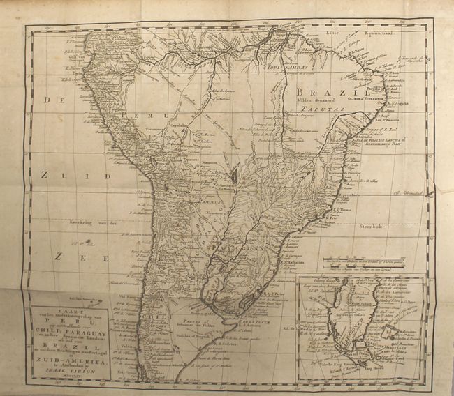
K. Kaart van het Onderkoningschap van Peru, zig uitstrekkende over Chili, Paraguay en andere Spaansche Landen: als ook van Brazil en verdere Bezitting en van Portugal in Zuid-Amerika (15.5 x 14"). Condition: Light offsetting with a few spots of foxing and a crease at far right. (B+)
L. Platte Grond van Lima de Hoofstad van Peru (10.3 x 7.2"). Condition: Clean and bright. (A)
M. De Ingang van Rio de la Plata (12.4 x 7.4"). Condition: Minor toning with a few faint spots of foxing. (B+)
N. Gezigt van de Stad Valparayso in Chili (11.4 x 6.5"). Condition: Light toning. (B+)
O. Kaart van de Aller-Heiligen Baay waar aan de Hoofdstad legt van Brazil (15.8 x 13.5"). Condition: Clean and bright with minor offsetting. (A)
P. Land-Kaart van het Eiland en de Volkplanting van Cayenne aan de Kust van Zuid-Amerika (16.4 x 14.2"). Condition: Clean and bright with minor offsetting. (A)
Q. Landkaart van de Volkplantingen Suriname en Berbice (15.7 x 13.2"). Condition: Clean and bright with a hint of offsetting. (A)
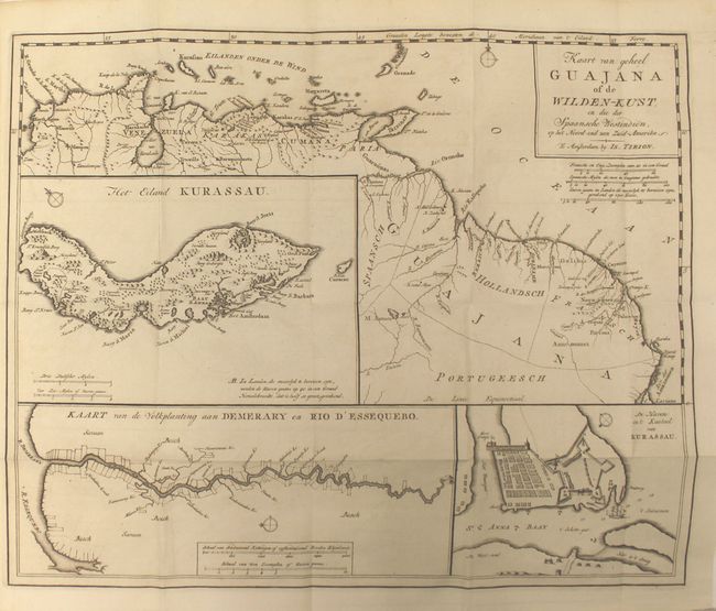
R. Kaart van Geheel Guajana of de Wilden-Kust, en die der Spaansche Westindien, op het Noord-end van Zuid-Amerika (15.9 x 13"). Condition: Clean and bright with a hint of offsetting. (A)
(IV), 676, (22); (IV), 685, (19); (IV), 620, (16) pp. Octavo, contemporary vellum with manuscript title on spine.
References: Shirley (BL Atlases) G.TIR-1a.
Condition:
The maps are mostly in very good or near fine condition, with dark, crisp impressions. See above for detailed condition descriptions of each map. The text is clean and bright with occasional toning on a few sheets. The latter half of Vol. 1 has some light damp stains that do not enter the maps. The binding is tight and the covers show light wear. (B+)