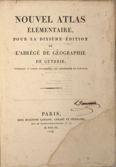
Subject: Atlases
Period: 1820 (published)
Publication:
Color: Hand Color
Size:
7.4 x 10.6 inches
18.8 x 26.9 cm
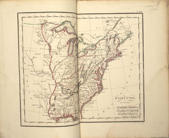
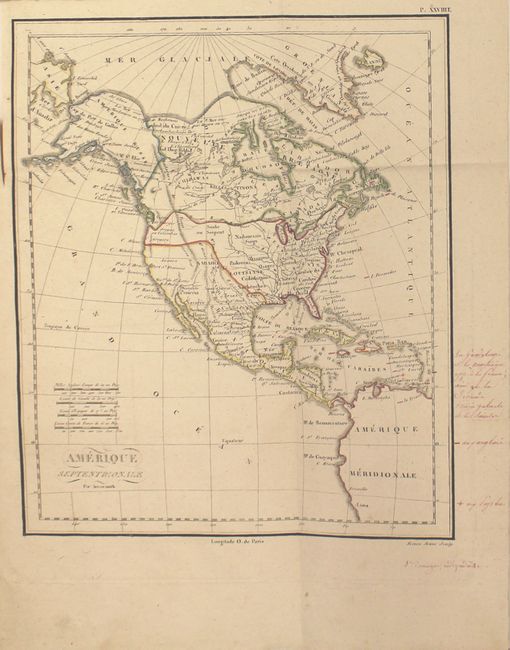
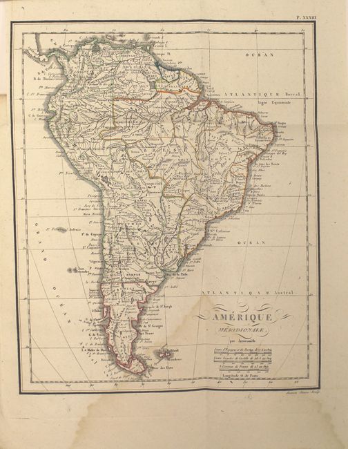
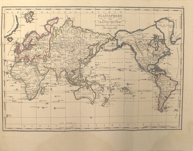
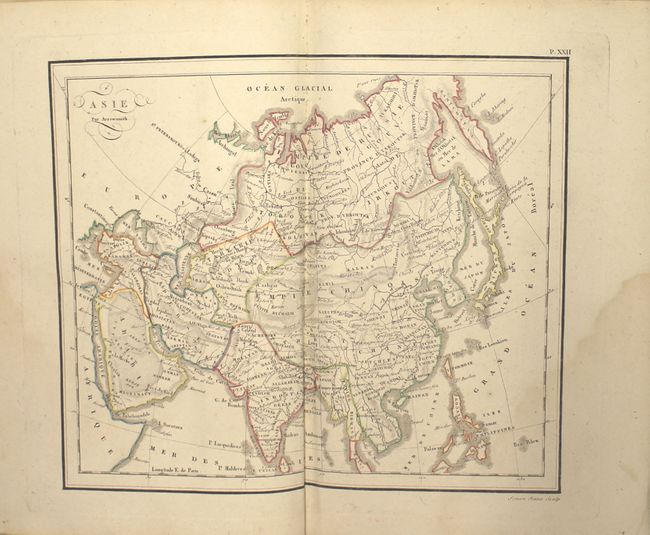
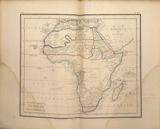
This is a complete French edition of the atlas to accompany Guthrie’s Geography. It consists of both double-page and folding maps, mostly by Arrowsmith. There are a total of 14 copper-engraved maps and 1 plate of the solar system with an armillary sphere. The maps include the world (2), Europe, Asia, Africa (2), North America, South America, France (4), the United States, and the Holy Land. The map of the United States depicts the western boundary along the Mississippi River with a large Mississippi Territory, and a large Indian Territory occupying today’s Indiana and Illinois. The states of Vermont and New Hampshire are reversed. The map of North America shows the northwestern boundary between the United States and Canada along the Columbia River, reflecting British claims in the region. Quarto, hardbound in blue paper boards. Deckled sheet edges.
References:
Condition: B+
The majority of the maps are very good with a light damp stain in the bottom right corner of the image, The maps of Africa, South America and the Ancient World have most prominent damp stains and would be considered in "B" condition. A few of the maps have manuscript notations mostly in the blank margins. Covers and spine are moderately worn and stained.