Subject: Atlases
Period: 1717 (published)
Publication:
Color: Hand Color
Size:
4.8 x 7 inches
12.2 x 17.8 cm
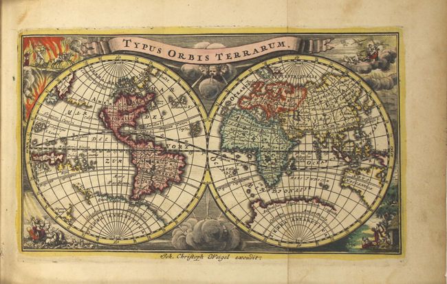
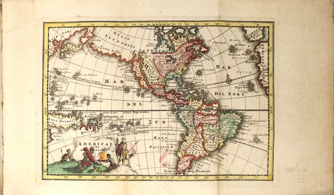
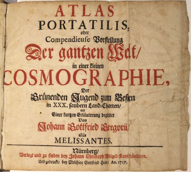
This handsome miniature atlas includes 29 (of 30) hand-colored folding maps and was created for the use of students. The majority of the maps pertain to Europe, and each map is accompanied with text on the region. The map of Prussia is missing. The world map features the island of California and a disembodied section of coastline stretching between Asia and North America labeled Terra Iesso. The cartography in the South Pacific is confused with Tasman's discoveries in New Zealand and Tasmania set alongside a nearly complete Antarctic continent. The map is set against a background of allegorical figures depicting the four elements, with the title on a banner above. The map of the western hemisphere also shows the island of California and Terra Iesso and gives additional detail in North and South America. Political boundaries, numerous place names, and a hint at a northwest passage are included.
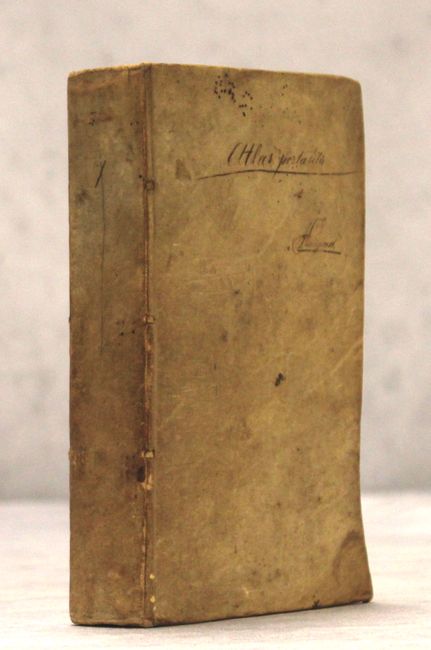
The atlas includes a short foreword by Johann Gottfried Gregorii, also known as Melissantes. Published in Nurnberg by Weigel. 12mo, 261 pp., foreword, 29 maps (of 30). Full vellum binding with manuscript title on front cover.
List of maps:
1. Sphaerarum Artificialum Typica Repraesentatio
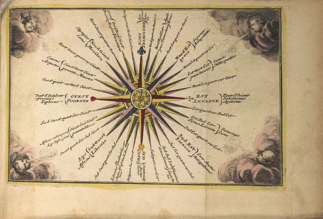
2. [Tabula Ventorum]
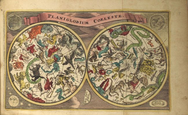
3. Planiglobium Coeleste
4. Typus Orbis Terrarum
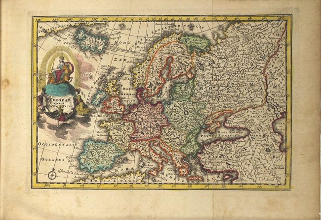
5. Europae Recens Designatio
6. Regnum Portugalliae et Algarbiae
7. Regni Hispaniae Delineatio
8. Regnum Galliae Moderna
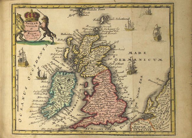
9. Angliae Scotiae et Hiberniae Regna
10. XVII Provinciae Belgii Accurate Delineatae
11. Italia cum Insulis
12. Neapolitani Regni Tabula
13. Germania Secundum X Circulos
14. Novissima Foederatorum Helvetiorum Tabula
15. Danubius [a?] Fonte Usque ad Ostia
16. Totius Fluminis Rheni Accurata Delineatio
17. Bohemia et Provinciae huic Regna Unitae
18. Ducatus Silesiae Tabula
19. Regnum Poloniae ejusque Confinis
20. Daniae cum Serie Insularum Suarum Regn:
21. Sueciae Regnum cum Vicinis Regionibus
22. Imperium Moscoviae
23. Regnum Hungariae cum contiguous Regionibus
24. Imperium Turcicum
25. Graeciae et Archipelagi Delineatio
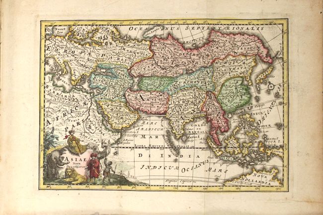
26. Asiae Nova Delineatio
27. Palaestina Iudea, Terra Promissa aut Terra Sancta
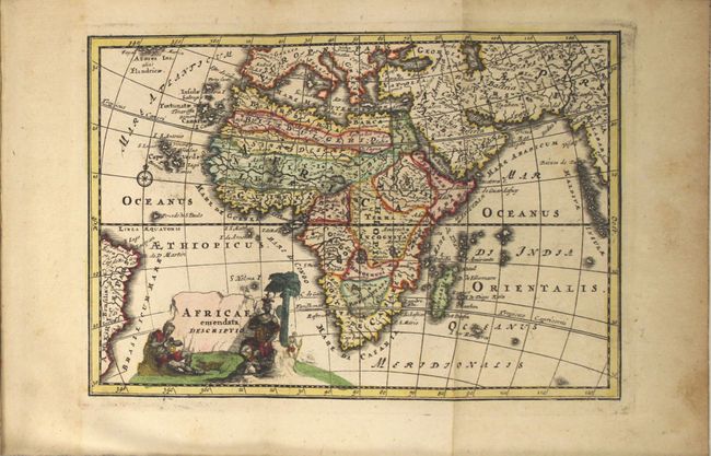
28. Africae Emendata Descriptio
29. Americae aucta Delineatio
References:
Condition: A
The maps are in full original color with excellent impressions and light marginal soiling. Several maps have a short fold separation in the bottom blank margin, a couple of which touch or just pass the neatline. The map of southern Italy has a 2" tear in the map. The text is generally very good with minor toning and light, scattered foxing. The title page is nearly detached, with moderate soiling, creasing, and a 2" tear at right that appears to be repaired with non-archival material on verso. The front hinge is starting and the covers show some soiling.