Subject: Poland, Germany
Period: 1758-59 (published)
Publication:
Color: Black & White
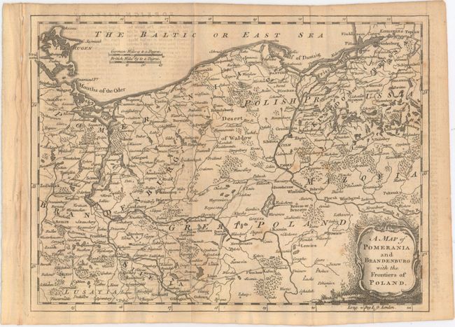
A. A Map of Pomerania and Brandenburg with the Frontiers of Poland, from Gentleman's Magazine, published 1759 (10.3 x 7.6"). A crisply engraved map with detail of small villages, forests, rivers, lakes and roads. Covers most of northern Poland with a bit of Germany, including Berlin and Frankfurt on the Oder River. Decorative title cartouche. Ref: Jolly #GENT-135.
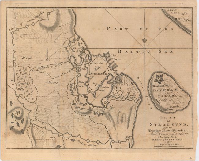
B. Plan of Stralsund, with the Trenches Lines & Batteries, That the Swedes Made to Defend It When Beseiged by the Danes & Prussians. In 1715, from Gentleman's Magazine, published 1758 (9.9 x 7.6"). A nice copper engraved map of the fortification of Stralsund and Danholm Island in northern Germany. The map depicts the camps of the Swedish King against the Danes and Prussians in 1715. Ref: Jolly #GENT-120.
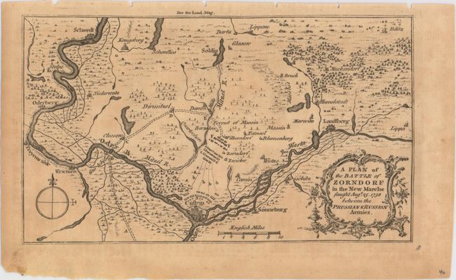
C. A Plan of the Battle of Zorndorf in the New Marche Faught Augt. 25. 1758 Between the Prussian & Russian Armies, from London Magazine, published 1758 (7.1 x 4.1"). This small map is focused on the confluence of the Oder and Warta Rivers in western Poland. It depicts the troop positions of the Prussians and Russians just to the north of present-day Kostrzyn in one of the bloodiest battles of the Seven Years' War. Ref: Jolly #LOND-147.
References:
Condition: B+
Issued folding with light toning, light offsetting and minor soiling.