Subject: Western Europe
Period: 1815 (published)
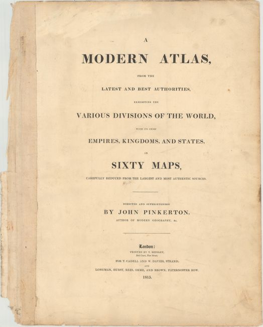
Publication: Pinkerton's Modern Atlas
Color: Hand Color
Size:
24.4 x 19.8 inches
62 x 50.3 cm
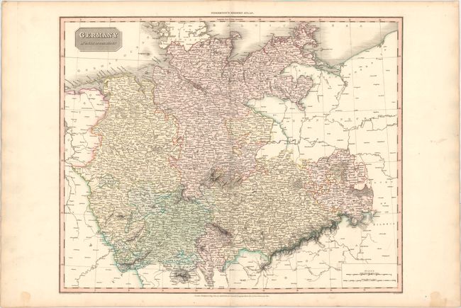
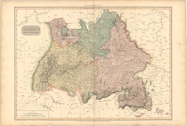
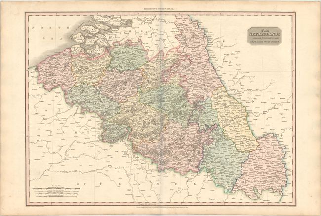
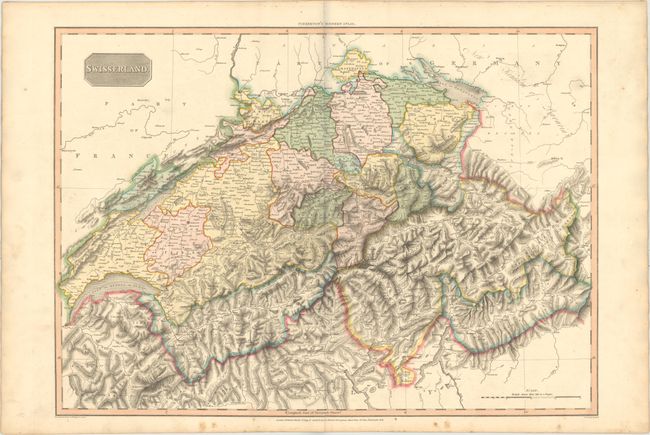
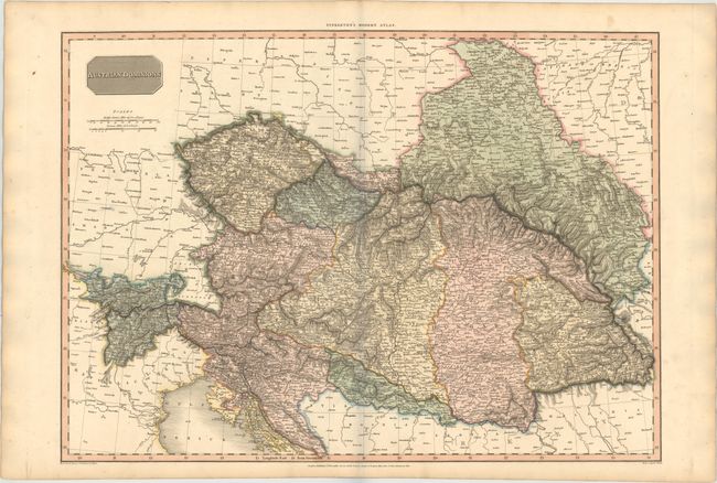
This lot contains five maps of western Europe from Pinkerton's Modern Atlas, which was first issued in parts to subscribers and as a complete atlas in 1815. The maps are typical of the precise style of early 19th century cartography with its emphasis on scientific accuracy. Drawn, under the direction of John Pinkerton, by L. Herbert and engraved by Samuel Neele. Published by Cadell & Davies Strand & Longman, Hurst, Rees, Orme & Brown in London. The lot also includes the title page and complete prospectus to the atlas.
A. Germany North of the Main, (24.4 x 19.8"). Condition: Minor damp stains confined to the blank margins. (A)
B. Germany South of the Main, (27.3 x 19.8"). Condition: Faint scattered foxing in the lower portion of the image and light toning along sheet edges. (B+)
C. The Netherlands and the Countries to the Left Bank of the Rhine, (27.5 x 19.9"). Condition: Faint offsetting (B+)
D. Swisserland, (27.4 x 19.7"). Condition: There is a centerfold separation that enters 3.5" into the image at bottom and light marginal soiling. (B+)
E. Austrian Dominions, (27.4 x 19.8"). Condition: Marginal soiling. (A)
References: Phillips (A) #724.
Condition:
See description above. Original color with slight creases to top corners of sheets.