Subject: United States & Mexico
Period: 1857 (published)
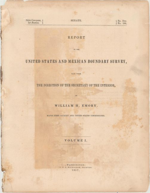
Publication: Report on the United States and Mexican Boundary Survey...
Color:
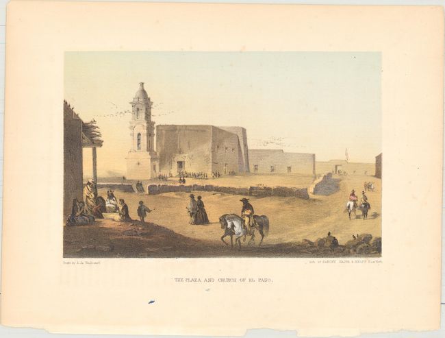
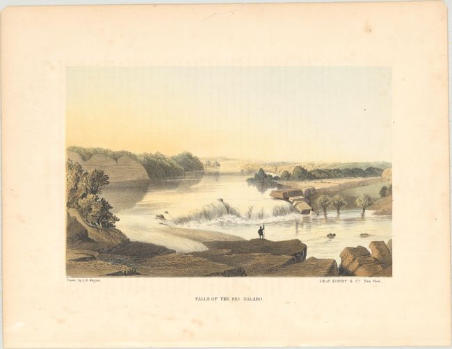
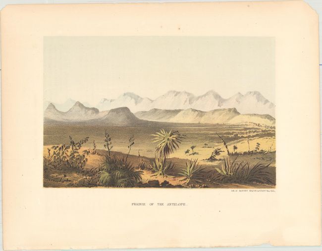
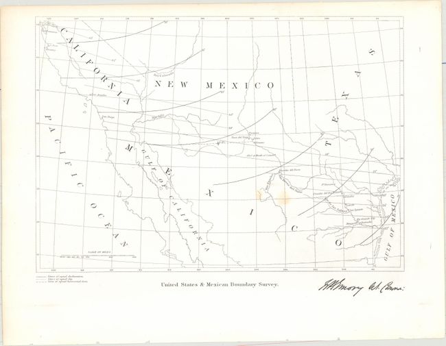
After the Treaty of Guadeloupe, Hidalgo (1848), which ended the war with Mexico, it was necessary to establish a boundary acceptable to both Mexico and the United States. The Mexican Boundary Survey was the result and it provided Americans with the first detailed description of their newly acquired territory. This lot includes one map, three tinted lithographs, six black and white lithographs, and the title page to the report:
A. The Plaza and Church of El Paso, printed color (8.4 x 5.4").
B. Falls of the Rio Salado, printed color (8.4 x 5.4").
C. Prairie of the Antelope, printed color (8.4 x 5.6").
D. United States & Mexican Boundary Survey, black & white (9.6 x 6.7").
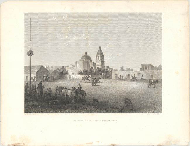
E. Military Plaza - San Antonio, Texas, black & white (8.4 x 6.2").
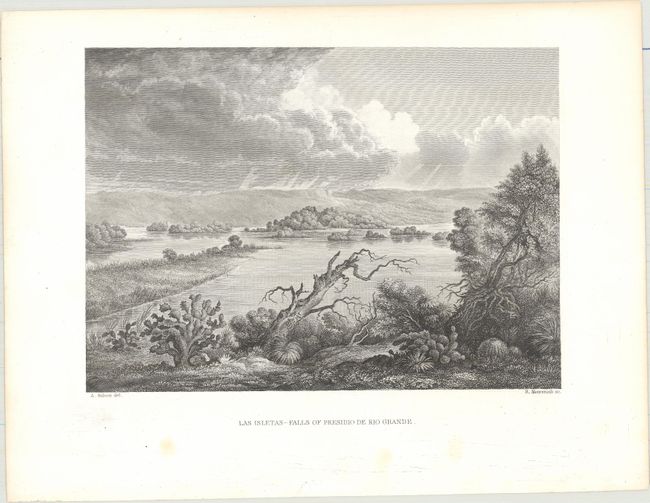
F. Las Isletas - Falls of Presidio de Rio Grande, black & white (8.5 x 6.2").
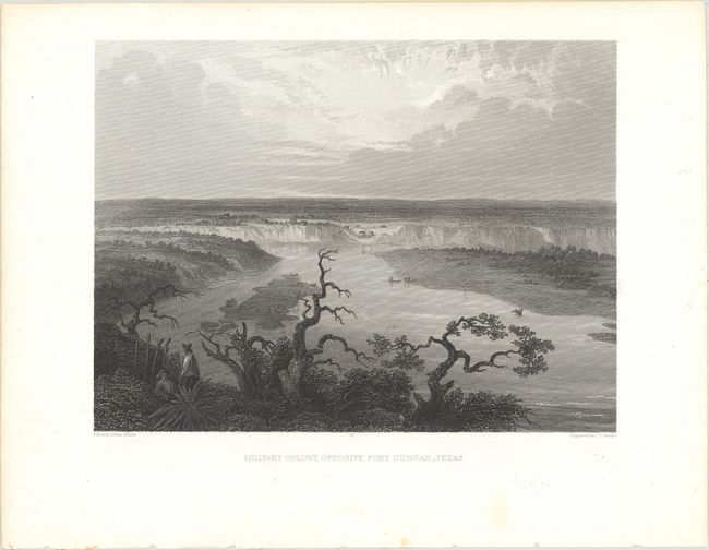
G. Military Colony, Opposite Fort Duncan - Texas, black & white (8.6 x 6.4").
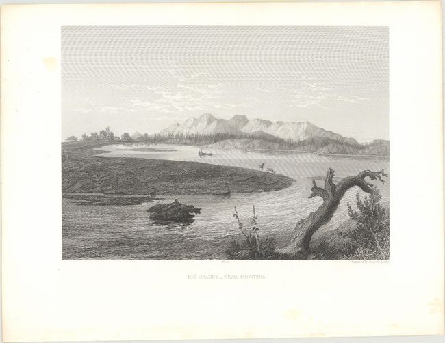
H. Rio Grande - Near Frontera, black & white (8.6 x 6.2").
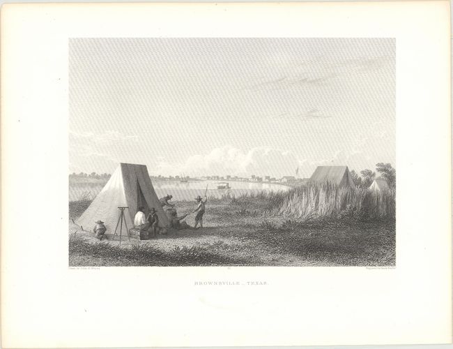
I. Brownsville - Texas, black & white (8.3 x 5.9").
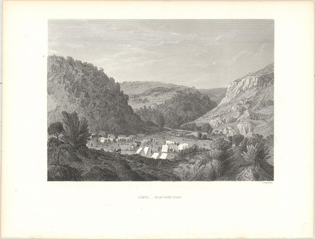
J. Limpia - Wild Rose Pass, black & white (8.3 x 6.0").
References:
Condition: A
Nearly all the prints are clean and bright with occasional soiling or foxing in the blank margins, and a few chips or short tears along the edges of the sheet, away from the image. The three colored lithographs have minor toning. The map has two small stains, and the Military Plaza in San Antonio has faint scattered foxing in the image. The title page moderate foxing and offsetting from the opposing lithograph.