Subject: Detroit, Michigan
Period: 1860 (circa)
Publication: American State Papers
Color: Black & White
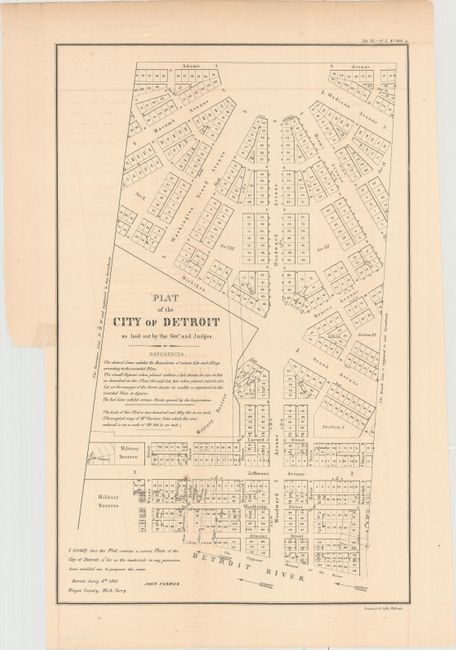
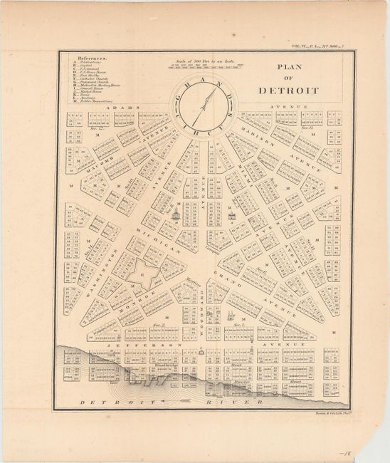
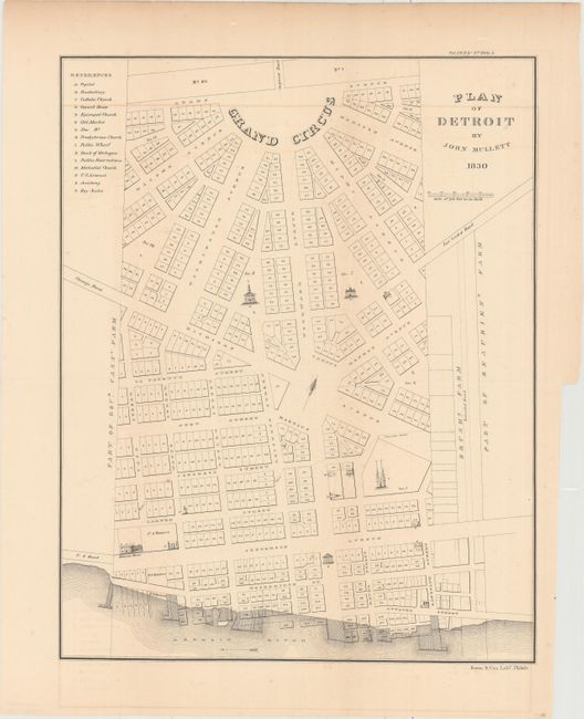
This lot includes three city plans of Detroit which were originally issued in a Congressional document that reviewed public land issues resolved between December 1828 and April 1834. In 1805, the old town of Detroit was destroyed by fire. In 1806, Congress passed a law appropriating 10,000 acres in and adjacent to the old town and authorized the Governor of Michigan Territory to lay out a new town and deal with the land title issues. It took until 1831 for the Governor to officially report back to Congress, as there were a number of former land owners who filed claims for property lost when the town was re-platted. The plan sparked considerable controversy from citizens of Detroit who complained to Congress that they, and not the Territorial Governor, should have the right to plat their own city. Published in the American State Papers circa 1860.
A. Plat of the City of Detroit as Laid Out by the Govr. and Judges, by John Farmer, dated 1831 (11.6 x 18.3").
B. Plan of Detroit, (8.3 x 9.9").
C. Plan of Detroit, by John Mullett, dated 1830 (13.9 x 17.6").
References:
Condition: B+
Issued folding with faint offsetting. The two larger maps have short binding tears confined to the blank margins.