Subject: Northwestern United States
Period: 1838 (published)
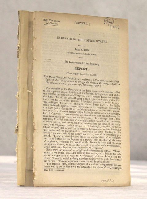
Publication: Report of the Senate Select Committee on the Occupation of the Oregon Country
Color: Black & White
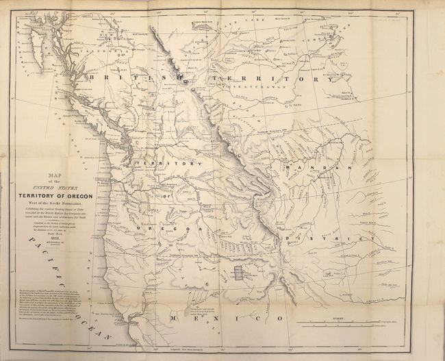
A. Map of the United States Territory of Oregon West of the Rocky Mountains, Exhibiting the Various Trading Depots or Forts Occupied by the British Hudson Bay Company... (20.6 x 17.4"). This map accompanied an important report intended to awaken public interest in the American occupation of Oregon Territory in the controversy with Great Britain, who also claimed the territory south to the Columbia River. Among the many interesting details are the locations of the various trading posts or forts connected with the American and British northwestern fur trade. The map covers present day Oregon, Washington, Idaho, Montana and Wyoming. The region east of the Rocky Mountains is named Mandan District. It also shows much of southwestern Canada. The map was copied from John Arrowsmith's 1832 map of British North America. At lower left is the wording of an ultimatum given to the British by Henry Clay, Secretary of State, stating that the 49th parallel will be the boundary. Engraved by M.H. Stansbury.
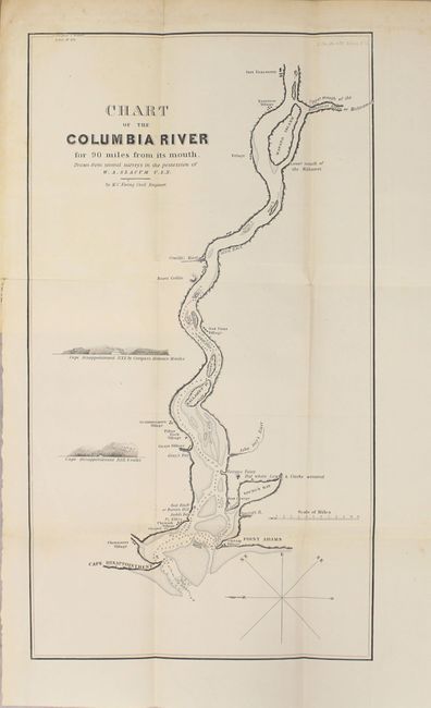
B. Chart of the Columbia River for 90 Miles from Its Mouth. Drawn from Several Surveys in the Possession of W.A. Slacum U.S.N. (9.1 x 16.3"). This is a companion map to the above depicting the river from Point Adams/Cape Disappointment east to Ft. Vancouver, showing villages along the way. The map shows the navigability of the river with soundings, sand bars and islands. It was drawn from several surveys in the possession of W. A. Slacum, USN.
The maps are still bound into the original 23 pp. Senate report.
References: Claussen & Friis #221 & 222; Wheat (TMW) #434.
Condition: B+
Issued folding with light toning along the folds, occasional faint offsetting, and a few spots of foxing. The first few pages of the report have separated from the disbound text.