Subject: Massachusetts, Connecticut, Rhode Island
Period: 1862-81 (dated)
Publication:
Color: Hand Color
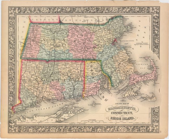
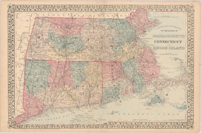
These two handsome Mitchell maps of the states of Massachusetts, Connecticut, and Rhode Island identify counties, towns and cities, railroads, islands, bays, and more. Both include decorative floral borders and were drawn and engraved by W.H. Gamble.
A. County Map of Massachusetts, Connecticut, and Rhode Island, dated 1862 (14.0 x 11.6"). County configuration is up-to-date, with the readjusted Massachusetts-Rhode Island border depicted. Condition: There is minor soiling and several small chips and short edge tears in the blank margins, two of which just enter the neatline at top. (A)
B. County and Township Map of the States of Massachusetts Connecticut and Rhode Island, dated 1881 (21.5 x 14.4"). County configuration predates the 1881 publication date, as New London has not gained land from Windham County. Condition: There is a short, archivally repaired fold separation and some light spots. (B+)
References:
Condition:
See description above.