Subject: Atlases
Period: 1895 (dated)
Publication:
Color: Hand Color
Size:
12.4 x 16 inches
31.5 x 40.6 cm
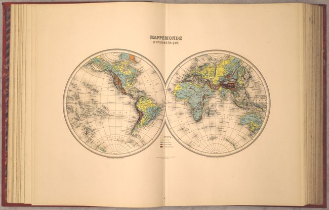
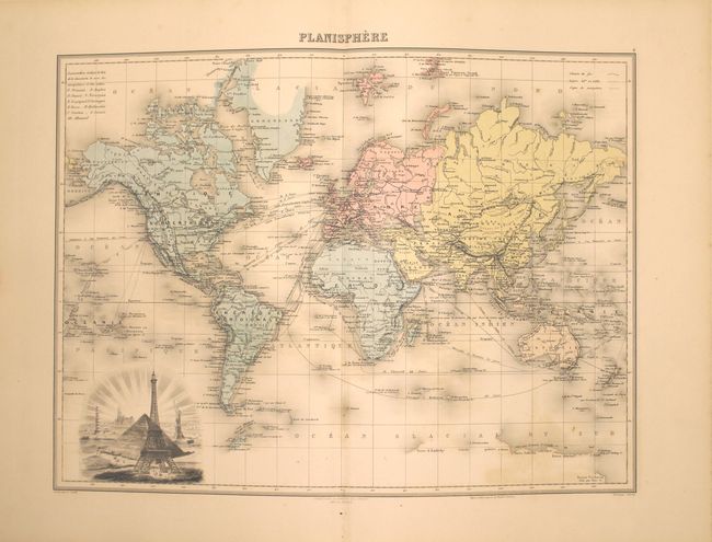
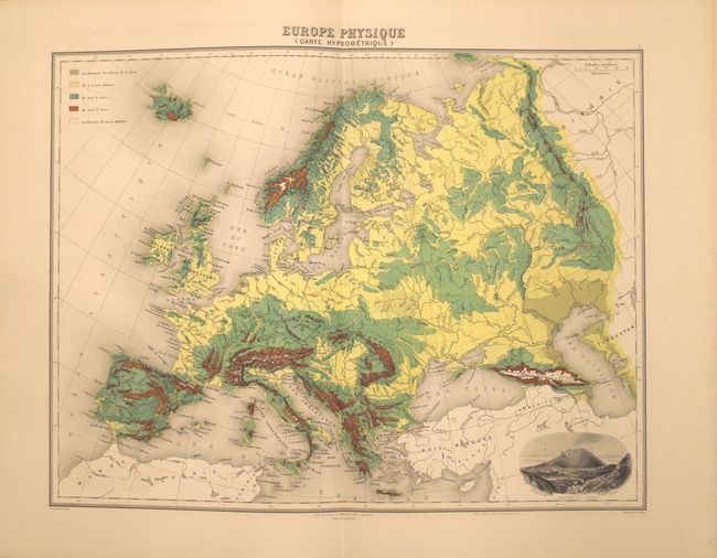
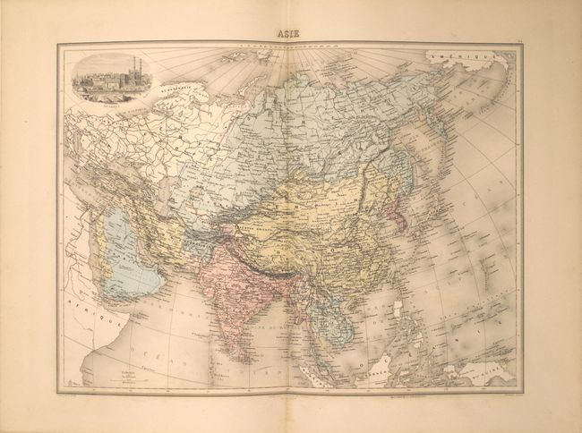
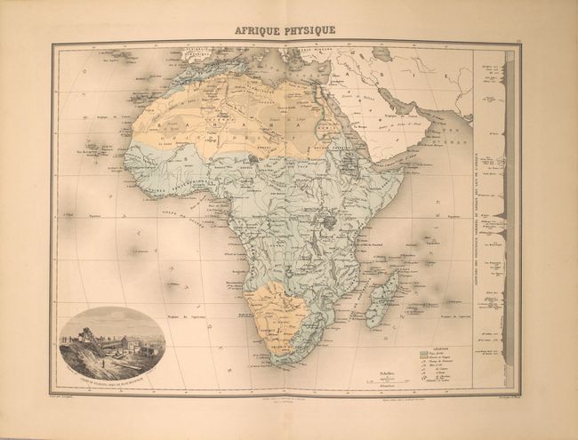
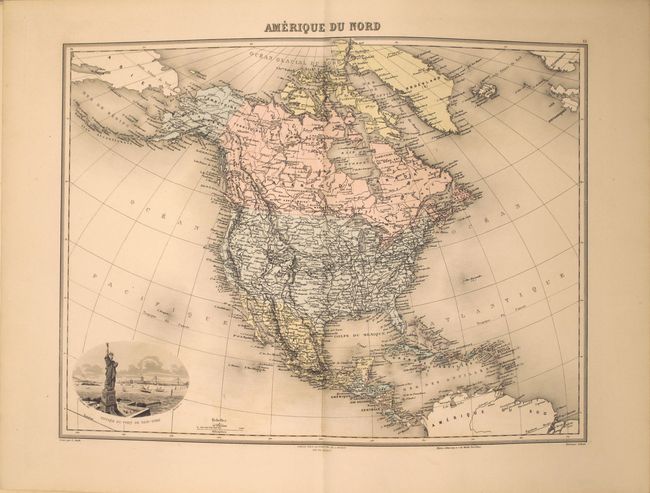
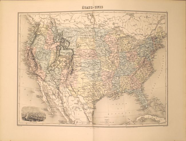
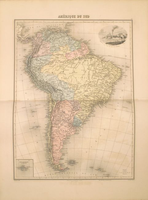
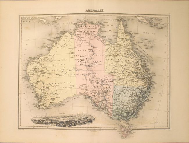
This complete French atlas is one of the more decorative atlases of the late 19th century. In addition to being hand colored, the majority of the maps feature superb vignettes showcasing key cities or monuments from the region. The atlas contains 65 double-page maps including one celestial chart, six historical maps, and fifty-eight modern maps. The modern maps consist of 2 world, 34 of Europe, 7 of Asia, 7 of Africa, 6 of the Americas, and 2 of Oceania. Each map is accompanied by two pages of text with geographical, political and historical information about the region. The map of the United States shows an extensive system of roads, several territories, and a lovely vignette of the US Capitol in Washington, DC. The maps are all single-sided and tipped into the atlas with back straps.
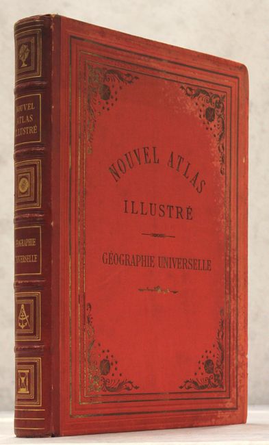
Folio, with original red pebbled cloth covered boards with gilt embossed titling and decorations on spine and covers.
References: Phillips (Atlases) #964.
Condition: A
Overall the maps are near fine with no tears or fold separations. Some of the maps have faint color offsetting or occasional light foxing, but are still generally clean and bright. Contents tight. Light staining along the edge of the front and back cover along with a few tiny chips in the cloth.