Catalog Archive
Auction 154, Lot 703

"Barbarien Tusschen C. de Tenes en C. de Rosa", Doncker, Henrick

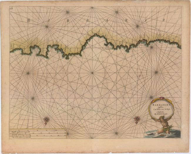
Subject: Algiers, Western Mediterranean Sea

Period: 1689 (circa)

Publication:

Color: Hand Color

Size:
19.7 x 15.1 inches
50 x 38.4 cm
Download High Resolution Image
(or just click on image to launch the Zoom viewer)

This lovely sea chart covers the Algerian coast from Tenes to east of Annaba (here called Bona). There is little inland detail, but place names appear along the coast, including the cities of Algiers (Argiera), Bejaia (Bogia), and Collo. A few anchorages and hazards are located. The map is decorated with two compass roses, rhumb lines, and a title cartouche featuring Nepture hoisting a seashell encasing the title. The chart is oriented with north at bottom.

References:

Condition: B+

Very light toning and soiling, with a few short edge tears confined to the blank margins.

Estimate: $275 - $350

Unsold

Closed on 9/16/2015

Archived