Subject: Cartographic Miscellany
Period: 1885 (circa)
Publication:
Color: Black & White
Size:
7 x 10.4 inches
17.8 x 26.4 cm
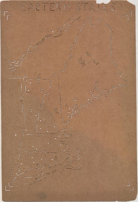
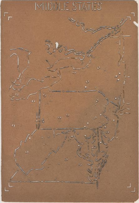
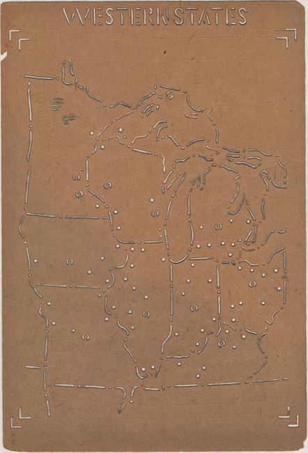
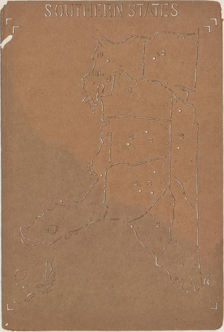
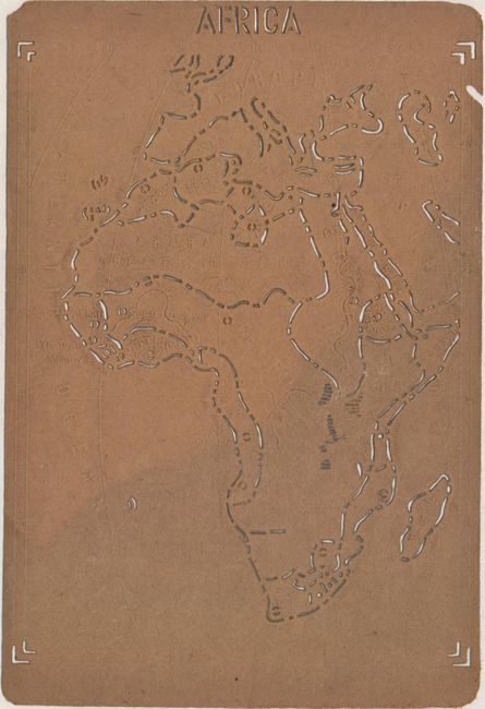
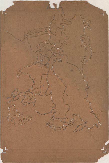
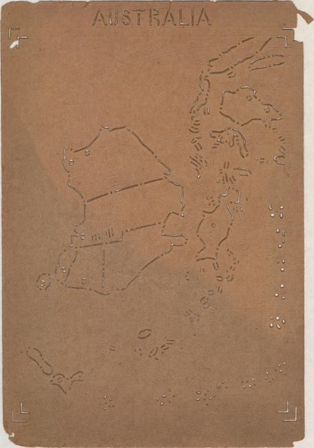
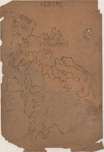
This unusual lot contains 4 maps of the United States east of the Mississippi River as well as maps of Africa, Asia, Europe and Australia constructed of thin, cardboard-like material. The outline of each map, as well as the political boundaries within, have been grooved so that a student could trace it. There are also tactile elements to these sheets, with rivers, coastlines and mountains identified through slight grooves and raised lines. These features suggest that these maps were intended for blind students, but that is unclear as the maps also include tactile text instead of braille. The bottom of each sheet indicates these were made in Germany - possibly by Martin Kunz.
References:
Condition: B
Maps are generally good with light soiling and a few edge chips, most notably on the sheets of Europe and Asia. The map of Asia also has several short tears. Most have residual pencil marks along the tracing lines, as to be expected for this type of map.