Catalog Archive
Auction 154, Lot 391
NO RESERVE
"Plan de la Rade de Funchal... [on sheet with] Isles de Madere, de Porto Santo, et Celles des Salvages [and] Isle de Goree…", Bonne, Rigobert
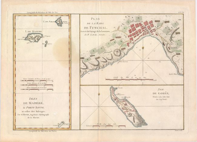
Subject: Atlantic Islands
Period: 1787 (circa)
Publication:
Color: Hand Color
Size:
13.8 x 9.3 inches
35.1 x 23.6 cm
Download High Resolution Image
(or just click on image to launch the Zoom viewer)
(or just click on image to launch the Zoom viewer)