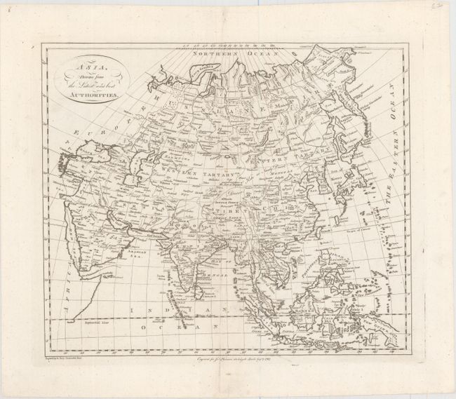
Subject: Asia
Period: 1787 (dated)
Publication: Harrison's Atlas
Color: Black & White
Size:
15.5 x 13.1 inches
39.4 x 33.3 cm
This elegantly engraved map of Asia stretches from Constantinople and the Black Sea east to the Kamchatka Peninsula and Kuril Islands, and extends as far south as New Guinea, which is depicted here with an incomplete coastline. Towns and cities, deserts, rivers, and mountains are depicted throughout the continent, and the Great Wall of China is located. Japan appears in an odd, splayed shape, and Hokkaido is called Yeso I. To the northeast of Hokkaido is the partial border of Company's Land, a mythical island "discovered" by Jean de Gama. The Sea of Japan is named Sea of Korea. Engraved by Garnet Terry.
References:
Condition: A
There are a few minor spots along the centerfold and a pair of small worm holes in the bottom blank margin.


