Catalog Archive
Auction 153, Lot 462

"Mongomery Comitatus qui Olim pars Ordovicum", Saxton/Kip
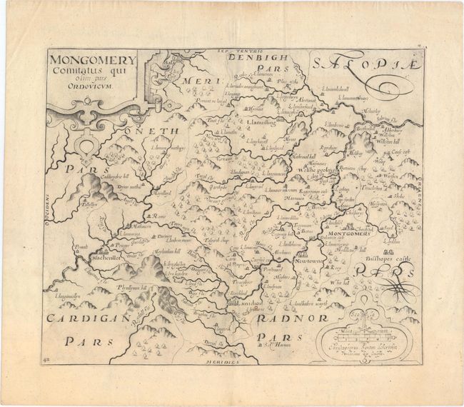
Subject: Wales

Period: 1637 (circa)

Publication: Camden's Britannia

Color: Black & White

Size:
12.6 x 10.4 inches
32 x 26.4 cm
Download High Resolution Image
(or just click on image to launch the Zoom viewer)

An early map of the county of Montgomeryshire engraved by William Kip and based upon the famous survey by Christopher Saxton. It is fully engraved to illustrate all the salient features of the county including market towns, forests, parks, hills and bridges. Montgomery, Newtown, Welshpool, and Llanidloes are identified. Decorated with large strapwork title and scale cartouches.

References:

Condition: A

Watermarked paper with wide margins and one small burn hole in the image near Llanidloes.

Estimate: $140 - $170

Unsold

Closed on 5/20/2015

Archived