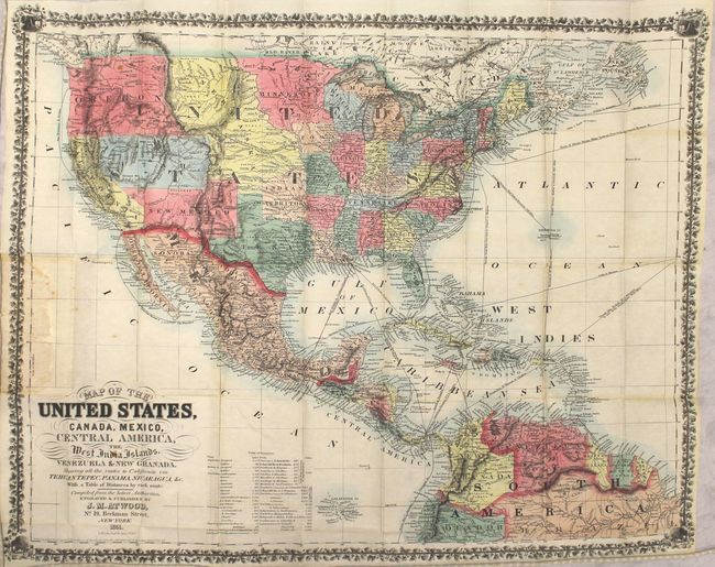
Subject: United States & Mexico, Central America
Period: 1851 (dated)
Publication:
Color: Hand Color
Size:
25.5 x 20.5 inches
64.8 x 52.1 cm
This desirable gold rush map of the United States and Mexico depicts sea routes from eastern North America, Europe and the Caribbean to California. It was published just three years after gold was discovered, and offered potential prospectors the most up-to-date routes to San Francisco from New York, Charleston, Savannah and New Orleans via Tehuantepec, Nicaragua and Panama. A table of distances is included at bottom. Cartographically, the map shows some evolving territorial configurations in the west including a large Oregon Territory that stretches to the Rocky Mountains, Nebraska Territory bounded by the Rockies to the west and the Missouri River to the east, as well as Utah and New Mexico territories in their largest configurations. It depicts several overland routes as well including the Oregon Trail, Kearney's Route, Gregg's Route and Fremont's expeditions in the Great Basin. Surrounded by a decorative floral border.
J.M. Atwood was an engraver who worked for the Colton and Ensign & Thayer firms in the late 1840s, producing several gold rush maps. According to Rumsey, this might be the only map Atwood published himself. The map does not appear in Philips, Karrow, Wheat, Streeter, Graff or Jolly.
The present example is a slight variant to the Rumsey reference whose full title is "Map Of The United States, Canada, Mexico, Central America, and the West India Islands With a Portion of Venezuela & New Granada; Showing the routes overland and by the Isthmus to California and Oregon, Also the new Boundaries of California, Utah, & New Mexico, Compiled from the latest Authorities." The maps are identical with the exception of red lines indicating the Tehuantepec, Nicaragua and Panama routes in the present example, and the political boundaries of South America include the addition of Ecuador, Brazil and Guayana.
References: cf. Rumsey #2365.
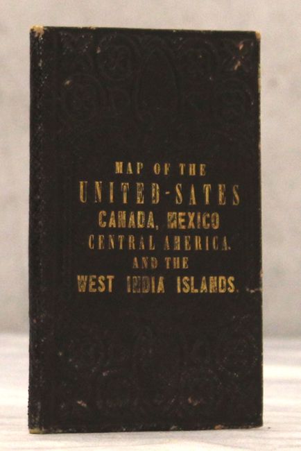
Condition: B+
Issued folding in original color with a few spots of foxing, a couple of short splits at fold intersections, and minor staining where the map was glued to the board. Boards are very good with minor shelf wear.