Catalog Archive
Auction 153, Lot 329

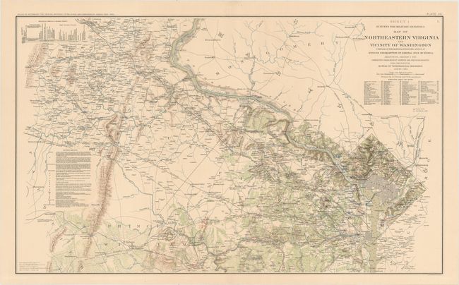
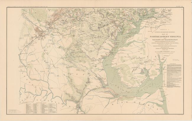
"[Lot of 2] Sheet 1. Survey for Military Defenses Map of Northeastern Virginia and Vicinity of Washington... [and] Sheet 2. Survey for Military Defenses Map of Northeastern Virginia and Vicinity of Washington...", U.S. War Department

Subject: Northern Virginia, Washington DC, Civil War

Period: 1891-95 (published)

Publication: Atlas to Accompany the Official Records of the Union and Confederate Armies...

Color: Printed Color

Size:
27.3 x 16.4 inches
69.3 x 41.7 cm
Download High Resolution Image
(or just click on image to launch the Zoom viewer)

This interesting pair of Civil War maps shows the Confederate and Union works in red and blue overprinting. Together the maps cover the areas of the District of Colombia as well as Loudon, Fairfax, Fauquier, Prince William, Stafford, and Charles counties, with portions of Montgomery, Prince George's, Orange, Spotsylvania, and King George counties depicted as well. Both maps feature towns and cities, roads, railroads, rivers, and topography. Soundings and a few notes on bottom types fill the Potomac. Each sheet includes tables that list sources in the creation of the map and elevations above tidewater. Drawn by J.J. Young and W. Hesselbach, lithographed by Julius Bien & Co.

References:

Condition: A

Both maps have minor offsetting and small archivally repaired edge tears in the blank margins. Sheet 1 has a 1/2" tear across the centerfold that has been closed on verso with archival tape. Sheet 2 has an archivally repaired centerfold separation at top that just enters the neatline.

Estimate: $200 - $240

Sold for: $150

Closed on 5/20/2015

Archived