Catalog Archive
Auction 153, Lot 191

"Railway Map of the Southern States", Fisk & Russell

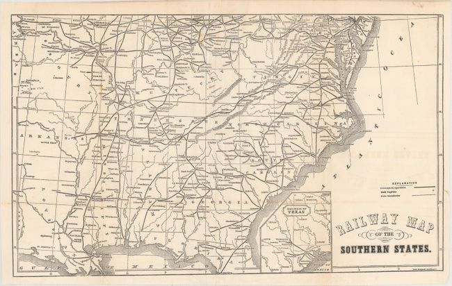
Subject: Southern United States

Period: 1863 (circa)

Publication:

Color: Black & White

Size:
19.8 x 11.8 inches
50.3 x 30 cm
Download High Resolution Image
(or just click on image to launch the Zoom viewer)

This Civil War era map depicts the extensive railroad network in the South. It covers the region from Virginia south to Florida and west to Missouri, Arkansas and Louisiana naming numerous cities and towns along the lines. Includes a small inset of the railroad network in Texas. Published in Appleton's The American Cyclopaedia and Register of Important Events of the Year 1862.

References:

Condition: B+

Issued folding with several extraneous creases adjacent to a fold, a few spots of foxing, and faint offsetting of the title at right.

Estimate: $150 - $180

Sold for: $75

Closed on 5/20/2015

Archived