Subject: United States
Period: 1875 (dated)
Publication:
Color: Printed Color
Size:
24 x 25.3 inches
61 x 64.3 cm
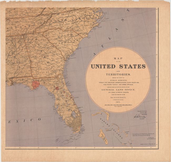
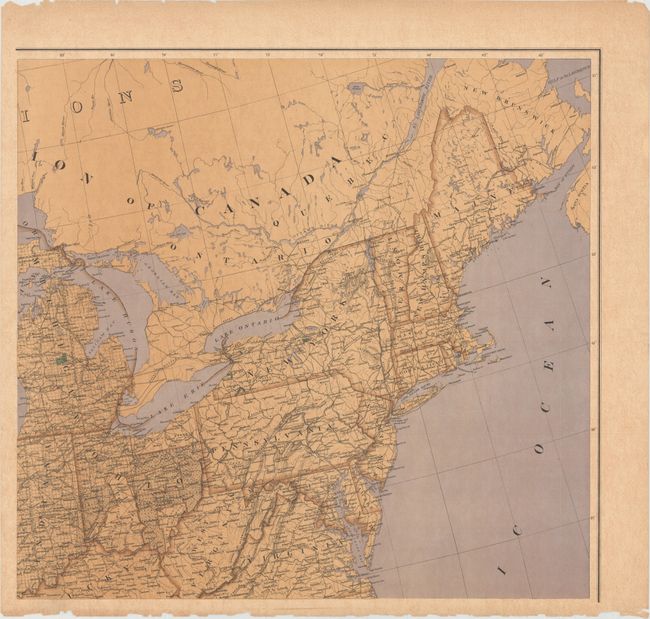
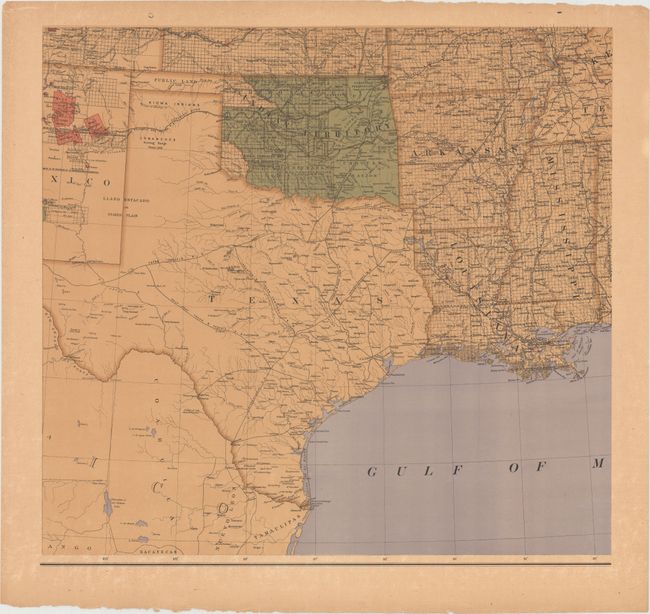
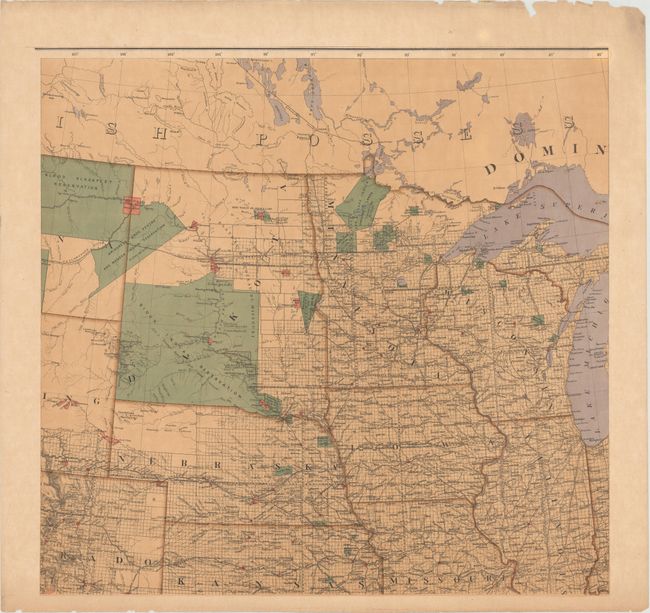
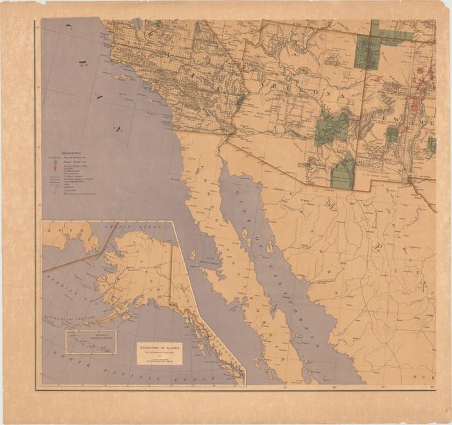
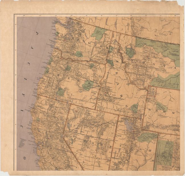
This highly detailed map of the United States would measure an impressive 76 x 48" if joined. It shows the extent of surveying work across the country and identifies Indian Reservations, Military Reservations, private grants, land offices, and both existing and proposed railroads. The map also includes an inset of the recently acquired Territory of Alaska.
This rare edition was made under the direction of S.S. Burdett, Commissioner, and drawn by C. Roeser, Principle Draughtsman. A lawyer by trade, S. S. Burdett was appointed by President Grant as Commissioner of the General Land Office in 1874 serving only until 1876 when he was replaced by J. A. Williamson. The cartographic output of the GLO during Burdett's short tenure appears to be limited to this map and his "Geographical and Political Atlas of the States and Territories of the United States of America in Which the Public Land Surveys are now in Operation" published in 1876.
References:
Condition: B+
Printed on heavy paper with vivid color. There is light toning, light foxing primarily confined to the blank margins, and numerous small edge chips and a few edge tears confined to the blank margins, away from the map image.