Catalog Archive
Auction 153, Lot 104

"Le Isole di Terra Nuova e Capo Breton di Nuova Projezione", Zatta, Antonio

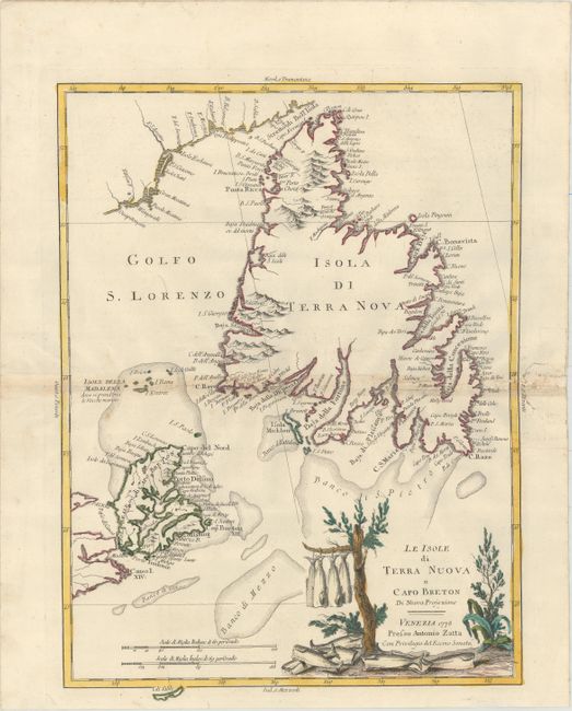
Subject: Eastern Canada

Period: 1778 (dated)

Publication: Atlante Novissimo…

Color: Hand Color

Size:
12.6 x 17 inches
32 x 43.2 cm
Download High Resolution Image
(or just click on image to launch the Zoom viewer)

A handsome map of Cape Breton and the island of Newfoundland is filled with lots of coastal place names and details. The interiors are left primarily blank with some indications of topography and hydrology. The decorative landscape cartouche features a tree with drying fish, alluding to the rich fishing banks of the area.

References: Kershaw #550; Shirley (BL Atlases) T.ZAT-1a Vol. 4 #41.

Condition: B+

Original color on watermarked paper with light toning along centerfold and several very short tears along centerfold that have been archivally repaired. There are several worm tracks in right blank margin.

Estimate: $325 - $400

Sold for: $325

Closed on 5/20/2015

Archived