Catalog Archive
Auction 152, Lot 88

"A General Map of North America from the Best Authorities", Doolittle, Amos
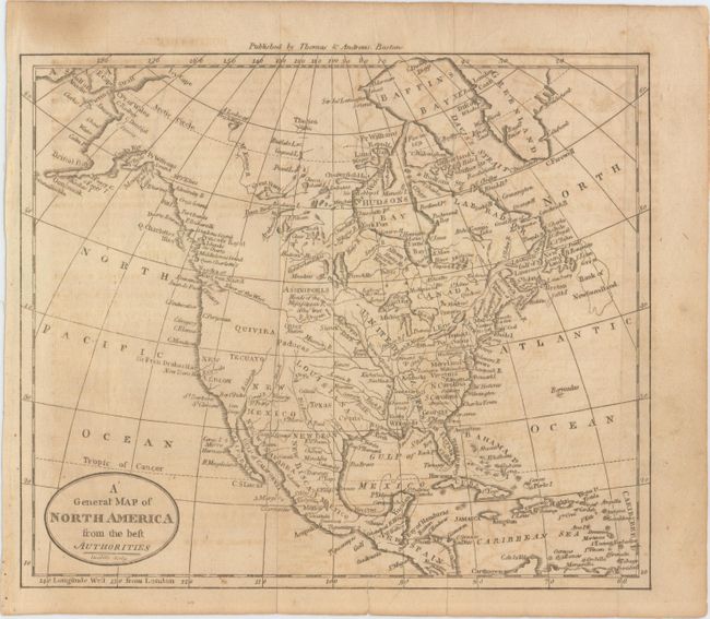
Subject: North America

Period: 1797 (circa)

Publication:

Color: Black & White

Size:
8.8 x 7.4 inches
22.4 x 18.8 cm
Download High Resolution Image
(or just click on image to launch the Zoom viewer)

This small map of North America shows a mostly blank Great Basin, and a long River of the West extending from an enlarged Puget Sound eastward nearly to the Mississippi River. The map has good watershed detail, locates the source of the Mississippi River, and names some Indian tribes, forts, etc. Texas (Cenis) is located within the huge Louisiana Territory, but not delineated. Published by Thomas & Andrews, Boston.

References:

Condition: B

Issued folding with light toning and offsetting, and a tiny hole to the west of Alaska only visible when held to light.

Estimate: $120 - $150

Sold for: $80

Closed on 2/18/2015

Archived