Catalog Archive
Auction 152, Lot 802

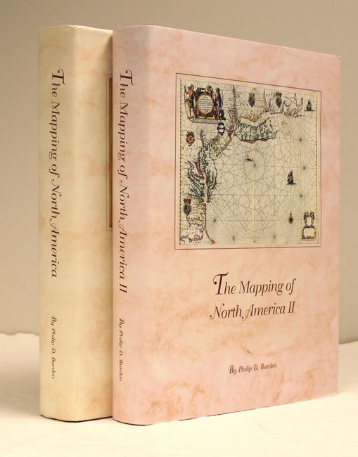
"[2 Volumes] The Mapping of North America - A List of Printed Maps 1511-1670 [and] The Mapping of North America II - A List of Printed Maps 1671-1700", Burden, Philip D.

Subject: References

Period: 1996-2007 (published)

Publication:

Color: Printed Color

Size:
10.6 x 14.3 inches
26.9 x 36.3 cm
Download High Resolution Image
(or just click on image to launch the Zoom viewer)

These are indispensable cartographic reference works covering nearly 200 years of North American maps. Each of the 774 maps featured over the two volumes is discussed in great detail with a description of both its publication and background history, including those of the cartographers and publishers. All maps are illustrated (23 in full color). The first volume has 568 pp., the second 540 pp., both hardbound red buckram, with dust jackets.

References:

Condition: A

Contents fine with minor wear on the dust jackets.

Estimate: $325 - $425

Sold for: $500

Closed on 2/18/2015

Archived