Subject: Atlases
Period: 1857 (published)
Publication:
Color: Hand Color
Size:
15 x 18 inches
38.1 x 45.7 cm
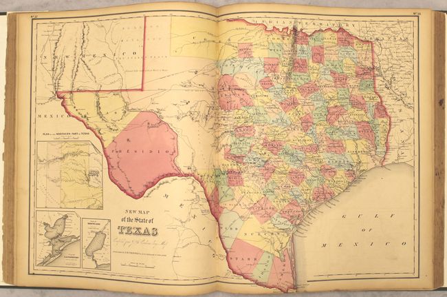
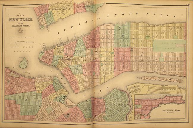
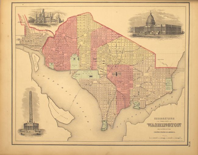
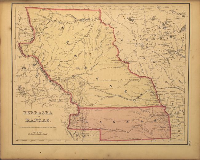
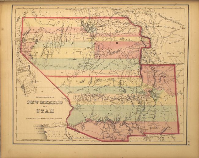
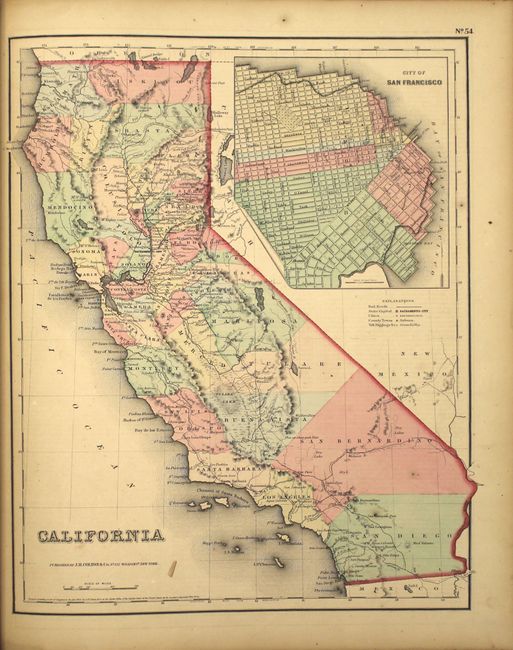
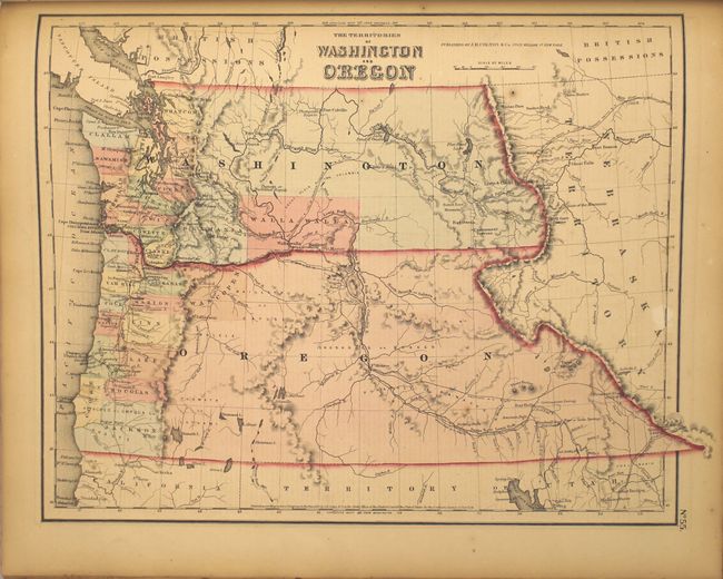
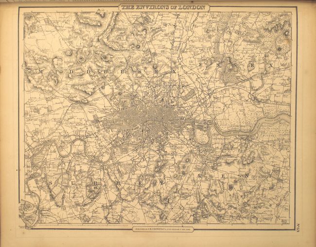
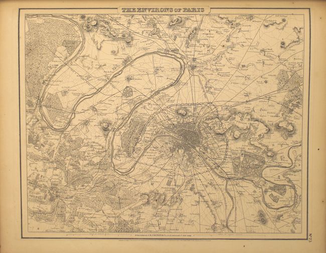
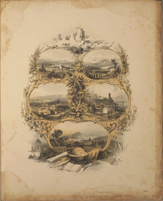
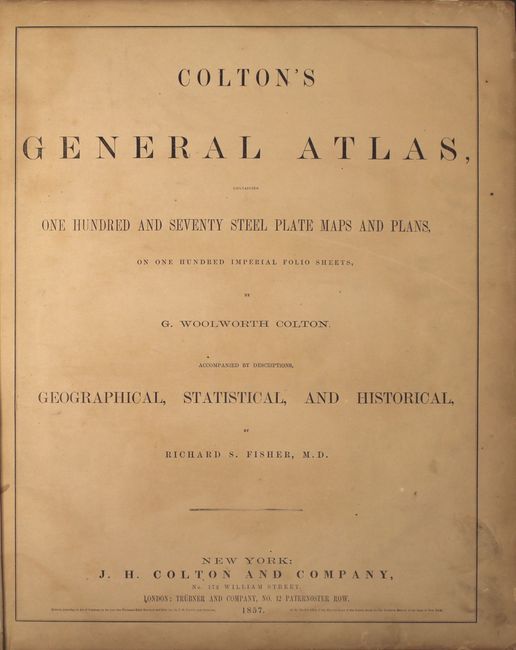
Colton's massive single-volume General Atlas, is considered by many to be the pinnacle of American cartography in the latter part of the 19th Century. It contains 102 steel engraved maps, including 10 double-page sheets, plus the frontispiece. It includes the desirable Territories of New Mexico and Utah depicting the region with the largest configurations of the Utah and New Mexico territories. Other important state maps featured in this atlas are the double-page editions of Kansas and Nebraska, which shows little development in the western reaches of each state; Washington & Oregon, which shows Washington Territory encompassing the region that would become Idaho; and nice maps of Texas and California. A pair of fine city plans are the single-page, uncolored Environs of London and Environs of Paris. The lovely engraved frontispiece features eight viginettes of places around the world and a world globe at the bottom with other scholarly tools. The atlas is complete and sound. Hardbound, frontispiece, title page, list of maps, text and maps.
References:
Condition: B+
The maps are very good with light even-age toning, occasional foxing and minor soiling. The map of the western hemisphere has a tear that extends into the border at bottom and has been closed on verso with archival tape. The frontispiece has some minor loss along the edges of the sheet that has been reinforced with cello tape. Professionally rebound with new endpapers.