Subject: Germany & Luxembourg
Period: 1607 (published)
Publication: Atlas Minor
Color: Black & White
Size:
7.3 x 5.5 inches
18.5 x 14 cm
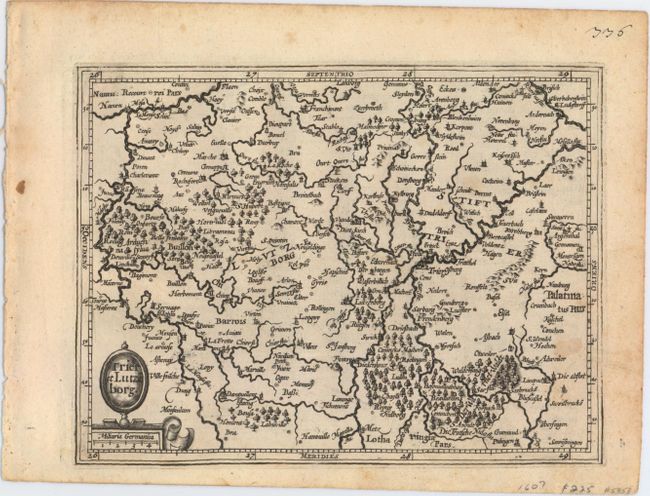
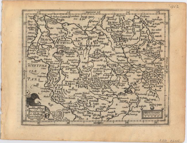
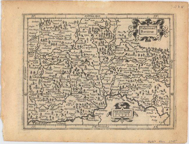
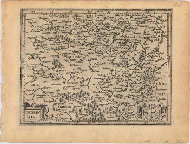
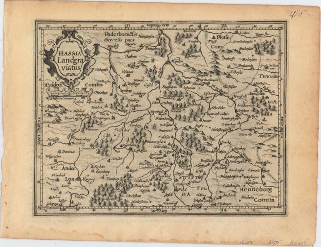
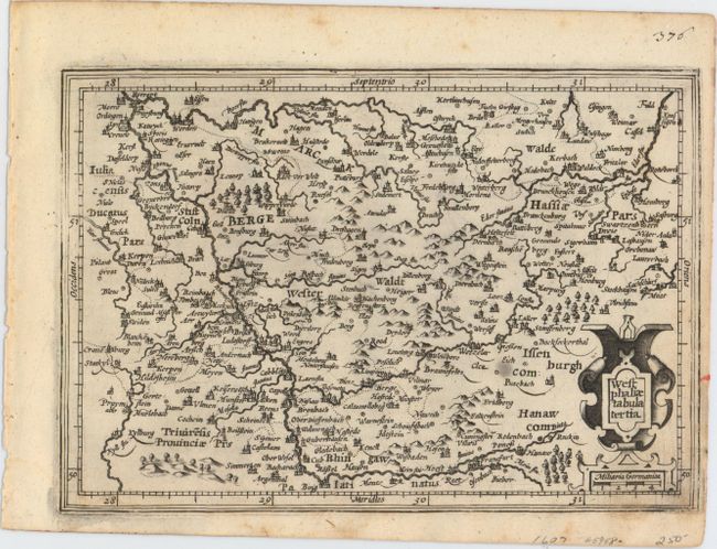
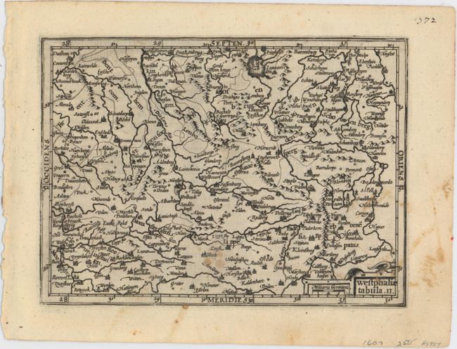
This lot contains seven handsome maps of mostly Germany from Atlas Minor. Each has numerous small towns depicted, along with the key rivers in the region. All maps decorated by strapwork title cartouches with manuscript numbers at top right and Latin text on verso.
A. Trier et Lutzeborg. This small map is roughly centered on the city of Luxembourg, with Trier just to the northeast.
B. Brauswik et Meydburg cum Confinijs. Covers the region around Brunswick in central Germany.
C. Palatinat Bavariae. Detailed map depicts the Bavarian region north of the river Danube.
D. Thuringia. This map shows the region including Erfurt, Weimar and Gotha.
E. Hassia Landgraviatus . Handsome small map of the state of Hesse detailing the course of the Fulda and Lon Rivers.
F. Westphaliae Tabula Tertia. This small map shows the North Rhein-Westphalia region.
G. Westphaliae Tabula. II. Little map covers part of North Rhein-Westphalia north of the Lippe River, with southern portions of Lower Saxony as far as Meppen and Diepholz.
References: Van der Krogt (Vol. III) #2120:351, 2260:351, 2302:351, 2303:351, 2430:351, 2450:351, 2670:351.
Condition: B+
Nice dark impressions with light toning on three of the maps and just a few small spots on two of the maps.