Catalog Archive
Auction 152, Lot 476

"L'Empire d'Allemagne Divise par Cercles Subdivises en Leurs Etats et Souverainetes", Janvier/Santini

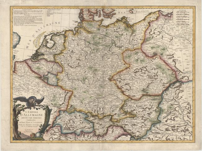
Subject: Central Europe, Germany

Period: 1776 (circa)

Publication: Atlas Universel

Color: Hand Color

Size:
25.4 x 18.6 inches
64.5 x 47.2 cm
Download High Resolution Image
(or just click on image to launch the Zoom viewer)

Large map showing the extent of the German Empire stretching from The Netherlands to Poland and from the Baltic Sea to the Gulf of Venice. The map is filled with good detail considering its scale and the various political divisions. The title cartouche features the black eagle of the German Empire sitting atop a tree branch.

References:

Condition: B+

A strong impression with several extraneous creases. There are archival repairs at top to a tear that enters 1/2" into image and along the centerfold.

Estimate: $180 - $210

Sold for: $90

Closed on 2/18/2015

Archived